
Petersburg • East • Southeast • West • Monuments • Markers • Facts • Timeline
The Fort Davis wayside marker is south of Petersburg on the eastbound section of Flank Drive.
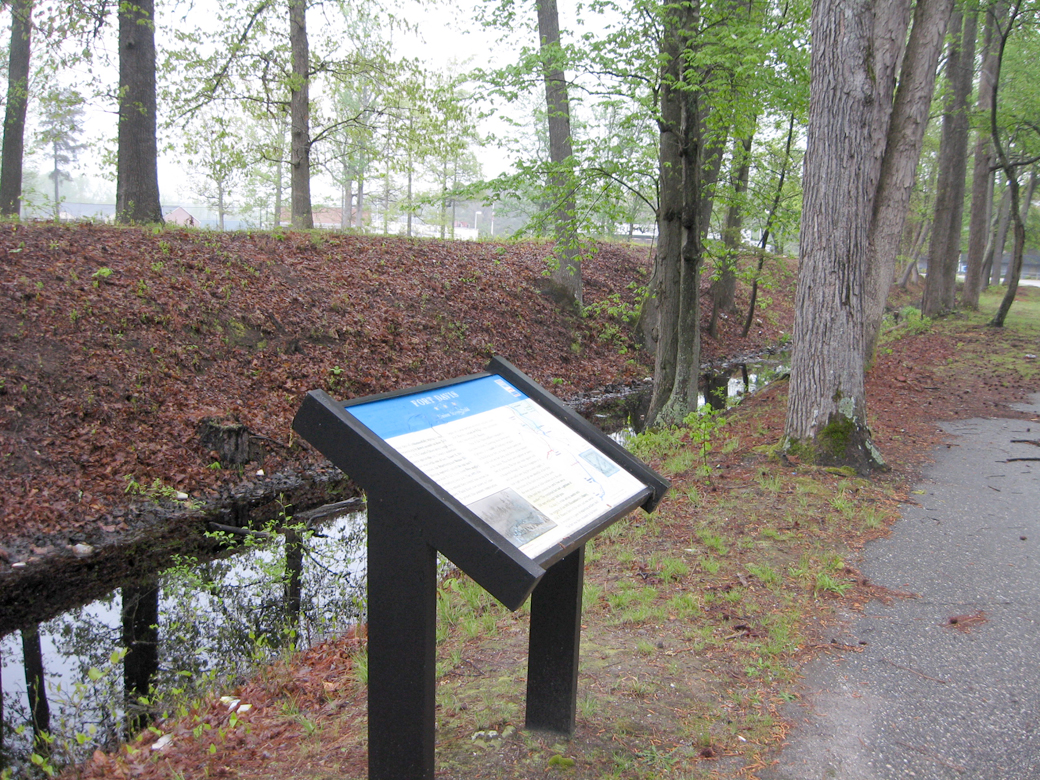
The marker is on the south side of the preserved earthworks of the fort alongside Flank Drive.
From the marker
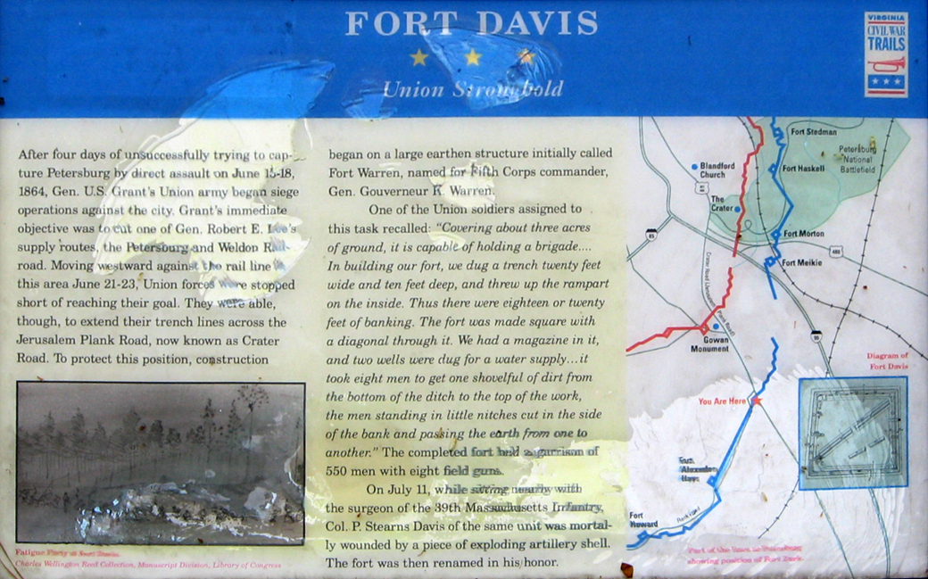
Fort Davis
Union Stronghold
After four days of unsuccessful trying to capture Petersburg by direct assault on June 15-18, 1864, Gen. U.S. Grant’s Union army began siege operations against the city. Grant’s immediate objective was to cut one of Gen. Robert E. Lee’s supply routes, the Petersburg and Weldon Railroad. Moving westward against the rail line in this area June 21-23, Union forces were stopped short of reaching their goal. They were able, though, to extend their trench lines across the Jerusalem Plank Road, now known as Crater Road. To protect this position, construction began on a large earthen structure initially called Fort Warren, Named for Fifth Corps commander, Gen. Gouverneur K. Warren.
One of the Union soldiers assigned to this task recalled: “Covering about three acres of ground, it is capable of holding a brigade…. In building our fort, we dug a trench twenty feet wide and ten feet deep, and threw up the rampart on the inside. The fort was made square with a diagonal through it. We had a magazine in it, and two wells were dug for a water supply…it took eight men to get one shovelful of dirt from the bottom of the ditch to the top of the work, the men standing in little nitches cut in the side of the bank and passing the earth from one to another.” The completed fort held a garrison of 550 men with eight field guns.
On July 11, while sitting nearby with the surgeon of the 39th Massachusetts Infantry, Col. P. Stearns Davis of the same unit was mortally wounded by a piece of exploding artillery shell. The fort was then renamed in his honor.
From the caption to the drawing
Fatigue party at Fort Davis
Charles Wellington Reed Collection, Manuscript Division, Library of Congress
From the caption to the map
Part of the map of Petersburg showing position of Fort Davis.
From the caption to the diagram
Diagram of Fort Davis
Location of the marker
The Fort Davis wayside marker is on the north side of the southern, eastbound section of Flank Drive. It is about 160 yards west of South Crater Road. (37°11’31.0″N 77°22’30.4″W)