
About the battle
The Battle of Rutherford’s Farm was fought on July 20, 1864. It took place about 2 1/2 miles northeast of Winchester, Virginia (see map below), as Confederate Lieutenant General Jubal Early’s Army of the Valley returned to the Shenendoah Valley from its raid on Washington. Union Brigadier General William Averell’s Cavalry supported by a brigade of infantry were in close pursuit. They encountered the Confederate rear guard, the division of Major General Stephen Dodson Ramseur, supported by cavalry.
Ramseur had orders to remain on the defensive, but he believed he strongly outnumbered the Union pursuers. He advanced his division, with Johnston’s and Lewis’s North Carolina Brigades in the front line, Lilley’s Virginia Brigade in a reserve line, and cavalry on each flank.
Averell also advanced his line of two Ohio and two West Virginia infantry regiments, with West Virginia Cavalry on each flank. The two lines met at a small angle, with the Federals overlapping the Confederate left. As the 2nd and 3rd West Virginia Cavalry outflanked Lewis’ North Carolinians, the 14th West Virginia Infantry charged their front and broke the Confederate line. Ramseur’s line collapsed and retreated in confusion, leaving behind 300 casualties and four pieces or artillery.
Early retreated south of Winchester to Fisher’s Hill. Four days later the tables would be turned, with Early winning a decisive victory at the Second Battle of Kernstown.
 |
John Shanes of Company K, 14th West Virginia Infantry Regiment, was awarded the Medal of Honor for his actions in the battle. He “Charged a Confederate fieldpiece in advance of his comrades and by his individual exertions silenced the piece.” |
The Battlefield Today
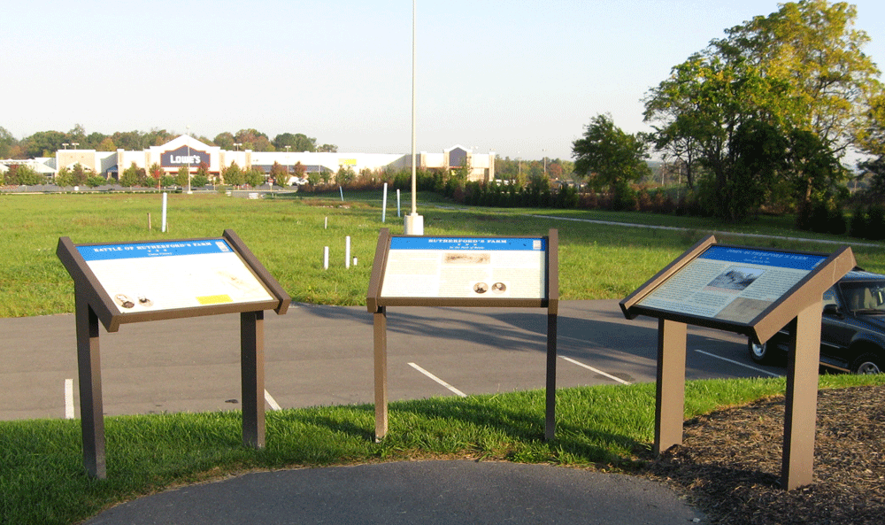
Due to highway construction and development three Civil War wayside markers and three Virginia Department of Historic Resources markers have been relocated to a small park northeast of Winchester, Virginia just east of the Rutherford Crossing shopping center. (see map below)

Virginia historical markers
A2 Action of Rutherford’s Farm
A 38 Hackwood Park
Q4 The Great Indian and Wagon Road
wayside markers
Battle of Rutherford’s Farm
In the Path of the Battle
Interrupted by War
Location
The markers are northeast of Winchester, Virginia on Martinsburg Pike (U.S. 11, about 0.3 mile east of the Interstate 81 exit. There is a parkng area for the markers on the north side of Martinsburg Pike just to the east of the shopping center parking area. (39.219433° N, 78.1333° W )