
Harpers Ferry Main • Tour the Battlefield > S Schoolhouse Ridge
The Battle of Harpers Ferry wayside marker is west of Harpers Ferry on South Schoolhouse Ridge a short distance from the Flag Talk marker. The marker is identical to other markers on Bolivar Heights and North and South Schoolhouse Ridge except for the “you are here” pointers.
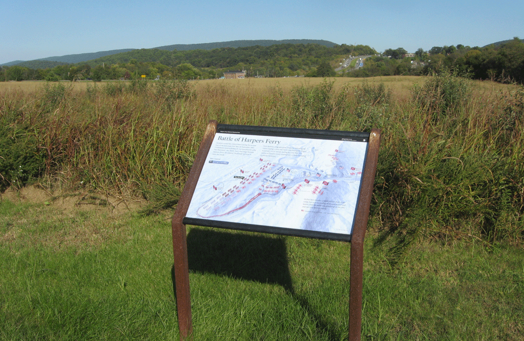
Looking east from Schoolhouse Ridge. Across the valley U.S. 340 crosses up and over the southern end of Bolivar Heights. The Union position in September of 1862 was to the left of the highway, while Confederate forces on Schoolhouse Ridge swung to the right to outflank the main Union defence line, setting up artillery in what is now the Murphy Farm area.
From the marker
Battle of Harpers Ferry
Invasion rocked the United States during the second year of the American Civil War. In September 1862 Confederate General Robert E. Lee launched his army into Maryland – the North. Lee’s first target became Harpers Ferry. He ordered “Stonewall” Jackson to make the attack.
Here Jackson overcame the great obstacles, defeating the Union during a three-day battle and forcing the largest surrender of U.S. troops during the Civil War. His victory at Harpers Ferry enabled Lee to make his stand at nearby Antietam.
At first their missiles of death fell far short of our camp; but each succeeding shell came nearer and nearer, until the earth was plowed up at our feet and our tents torn to tatters.
Lieutenant James H. Clark,
115th New York Infantry

Location of the Battle of Harpers Ferry wayside marker on South Schoolhouse Ridge
The marker is on the South Schoolhouse Ridge Trail about 0.6 mile north of the trailhead. The trailhead is southwest of Harpers Ferry on the west side of Millville Road about 0.7 mile south of U.S. 340. (39°18’51.0″N 77°46’51.2″W)