
Five Forks • Tour the Battlefield • The Armies • Battle Maps
– – –
Visitor Center • Stop 1 • Stop 2 • Stop 3 • Stop 4 • Stop 5

Stop One on the Five Forks Battlefield Auto Tour is “The Union Cavalry Attacks.” It is on the east side of Courthouse Road about 0.1 mile south of the Visitor Contact Center. (see map below) During the Civil War the road was known as Dinwiddie Court House Road. There is a wayside marker with the same name at the Tour Stop.
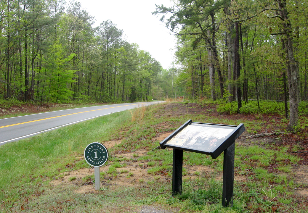
Tour Stop One and “The Union Cavalry Attacks” wayside marker along Court House Road. The photo faces west toward the Five Forks intersection which is about 1/2 mile down the road.
On the day before the battle Pickett’s force had pushed Sheridan’s cavalry down this road almost to Dinwiddie Court House, but withdrew back to Five Forks when Union Forces along White Oak Road threatened to get behind the Confederate lines.
The Union Cavalry Attacks wayside marker
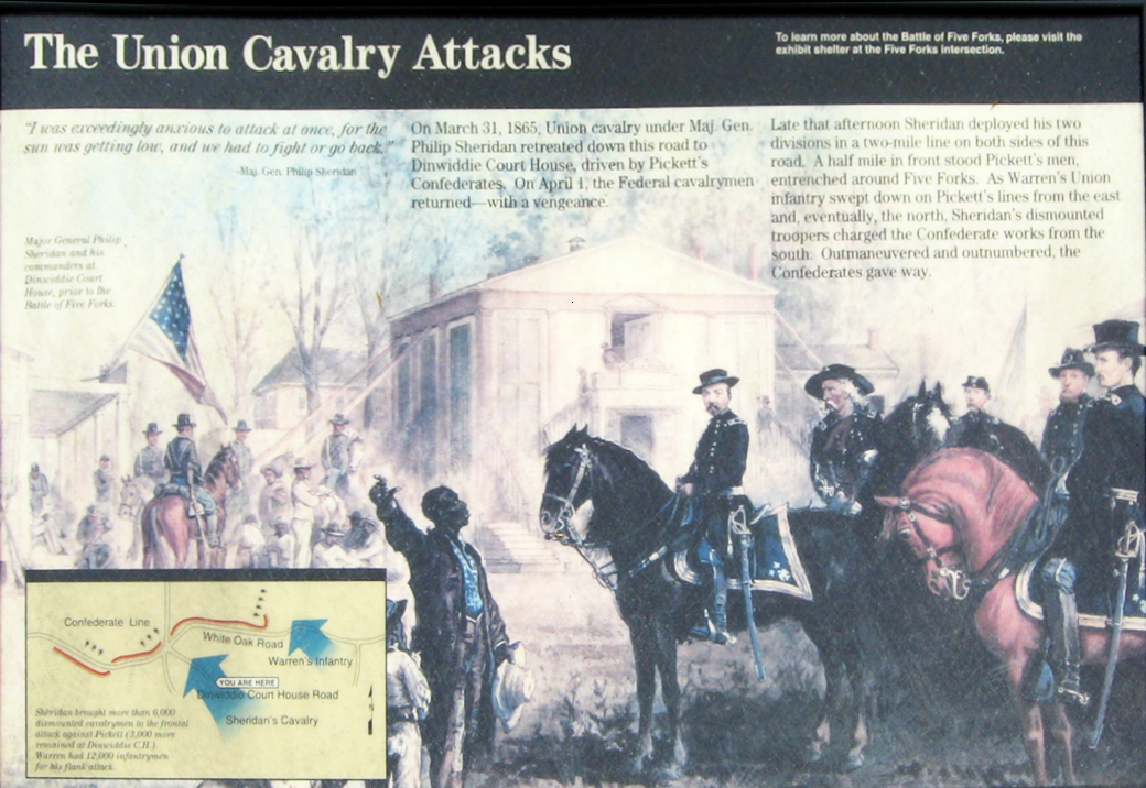
From the marker:
The Union Cavalry Attacks
“I was exceedingly anxious to attack at once, for the sun was getting low, and we had to fight or go back.”
– Maj. Gen. Philip Sheridan
On March 31, 1865, Union cavalry under Maj. Gen. Philip Sheridan retreated down this road to Dinwiddie Court House, driven by Pickett’s Confederates. On April 1, the Federal cavalrymen returned – with a vengeance.
Late that afternoon Sheridan deployed his two divisions in a two-mile line on both sides of this road. A half mile in front stood Pickett’s men, entrenched around Five Forks. As Warren’s Union infantry swept down on Pickett’s lines from the east and, eventually, the north, Sheridan’s dismounted troopers charged the Confederate works from the south. Outmaneuvered and outnumbered, the Confederates gave way.
From the caption to the background illustration:
Major General Philip Sheridan and his commanders at Dinwiddie Court House, prior to the Battle of Five Forks.
Map and directions to Stop One on the Auto Tour
Stop One on the Auto Tour is on the north side of Courthouse Road about 0.5 mile southeast of the Five Forks intersection and 0.1 mile from the Information Center driveway. (37°08’04.3″N 77°36’57.1″W)
 Directions to the next stop on the Auto Tour:
Turn right out of the parking area onto Couthouse Road and continue 0.5 mile to the Five Forks intersection. Turn right onto White Oak Road for about 0.7 mile. The parking area for Stop Two is on the left.