
Battle of the Wilderness • Tour the Battlefield • Monuments & Markers • The Armies
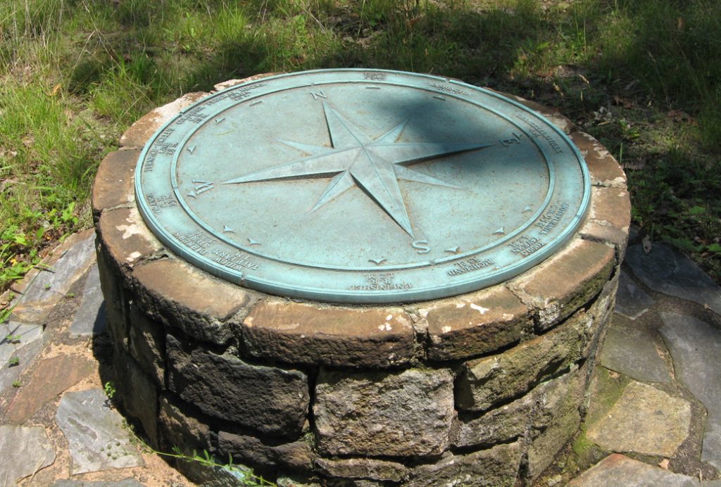
 The Compass Rose at the intersection of Orange Plank Road and Brock Road is one of several erected at Civil War battlefields in Spotsylvania County.
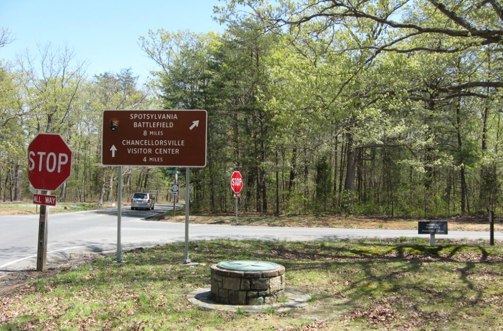
The Brock Road intersection was a critical point in the Federal line. The small ditch and berm on the near side of the road on the right side of the photo are the remains of Union trenches.
The monument is at Stop Eight on the Auto Tour. There is another compass rose at Saunders Field on the WIlderness battlefield on Hill-Ewell Drive.
Distances from the compass rose in miles, starting at north and going clockwise:
Ely’s Ford 4.2 M.
Washington 58 M.
Chancellorsville 4 M.
Spotsylvania C.H. 9.5 M.
Todd’s Tavern 4.2 M.
Richmond 58 M.
Unfinished R.R. 1.2 M.
Widow Tapp Farm 1 M.
Parker’s Store 3.2 M.
Orange C.H. 23 M.
Turnpike – Ewell’s Line 2.9 M.
Culpeper C.H. 20 M.
Federal Hdqrs. Area 1.9 M.
Location of the Compass Rose
The Compass Rose is on the southwest side of the intersection of Orange Plank Road and Brock Road, just a few feet from the pavement. (38°18’04.1″N 77°42’32.5″W)