
The High Bridge wayside marker is at both ends of the High Bridge across the Appomattox River Valley outside Farmville, Virginia.
The High Bridge wayside marker on the west approach to the bridge. An identical marker is on the other side.
High Bridge Trail State Park
The High Bridge
“There have been higher bridges not so long and longer bridges not so high,
but taking the height and length together, this is, perhaps, the largest bridge
in the world.”
-C.O. Sanford, South Side Railroad’s chief engineer,1852
In 1854 the South Side Railroad was completed from Petersburg to Lynchburg. To cross the Appomattox River east of Farmville, High Bridge was constructed. The bridge, 2,400 feet in length and ranging from 60 to 125 feet in height, was built on 21 brick piers. The original wood bridge had a pedestrian walkway beside the tracks and a wagon bridge below.
On April 6 and 7, 1865, the bridges were of strategic importance to the armies of General Robert E. Lee and General Ulysses S. Grant as they moved westward from Richmond toward Appomattox Court House. On April 6th, following the Battle of Sailor’s Creek, a small group of Union infantry and cavalry attempted to destroy the bridge but were deterred by Confederate horsemen who arrived on the scene. On the morning of April 7th, quick marching Union troops came upon High Bridge as the Confederates were setting fire to it after crossing. Using the lower wagon bridge to continue their pursuit, Grant’s men pressed on eventually coming in contact with Lee’s army around nearby Cumberland Church.

Location
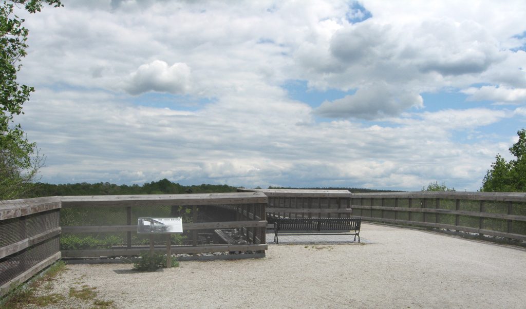
The High Bridge crosses the Appomattox River valley six miles downstream (northeast) of Farmville. It can be reached by the High Bridge hiking/biking/horse trail from either side. From the west side take the River Road (Route 600) northeast from the north side of Farmville about three miles. A parking area on the north side of River Road is administered by Virginia state parks and requires a modest parking fee. From there a level trail of about a mile leads southeast to the bridge (be careful – the trail goes both ways and I spoke with a hiker who went a couple of miles in the wrong direction before she turned around and made it to the bridge). There are even benches along the way and at the bridge to take a break.