
Battle of Spotsylvania • Tour the Battlefield • Monuments & Markers • The Armies

The Bloody Angle is Stop 3 on the Spotsylvania Battlefield Auto Tour. It is about .85 mile east of the Spotsylvania Battlefield Exhibit Shelter. 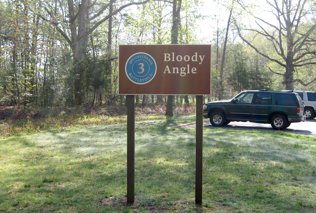
The parking area is the trailhead for a network of trails. One follows the perimeter of the Muleshoe around to Tour Stop Six. Another runs about 1,000 yards to the site of the Landram House. A number of monuments and markers interpret and commemorate what may have been the most violent, intense and prolonged fighting of the Civil War.

Monuments at Stop 3:
15th New Jersey Volunteer Infantry Regiment
49th New York Volunteer Infantry Regiment
126th Ohio Volunteer Infantry Regiment
McGowan’s South Carolina Brigade
Compass Rose
Wayside markers at Stop 3:
Aftermath
Attack on the Muleshoe and Bloody Angle, Crowded Ravine
Dawn Assault and Fatal Mistake at the East Angle
The Confederate Earthworks and Struggle for the Bloody Angle
The Muleshoe Salient
The Toughest Fight Yet
Connecting destinations
The Landram House trail
To Stop Two
To Stop Four
To Stop Six
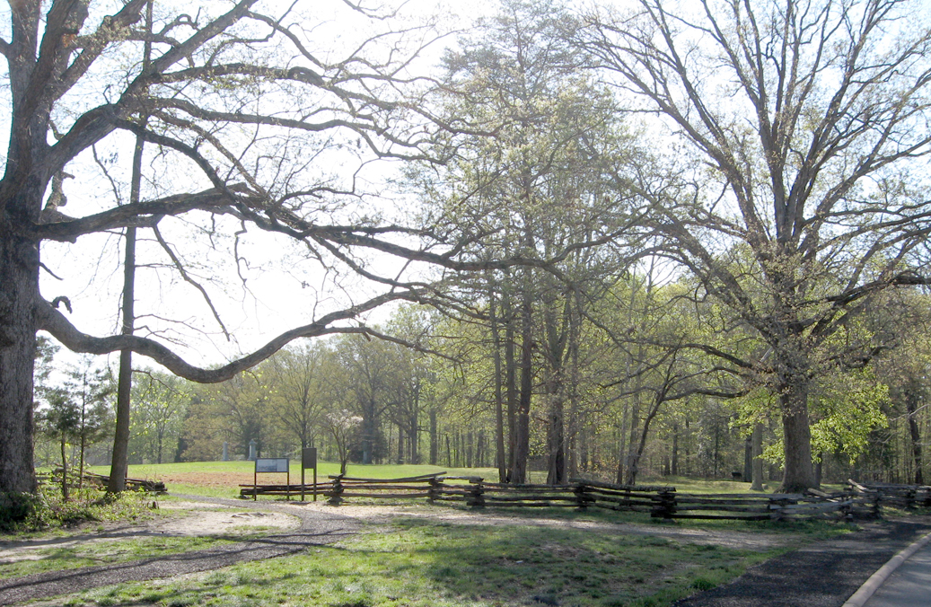
Trail to the Bloody Angle from the parking area at Stop 3
Location of Tour Stop 3
Tour Stop 3 is on Grant Drive about 0.85 mile east of the Spotsylvania Battefield Exhibit Shelter. (38°13’24.5″N 77°36’05.4″W)
 Directions to the next stop on the Auto Tour:
Continue 0.5 mile southeast on Grant Drive, which becomes Anderson Drive after the curve.
Stop Four is at the wye when Anderson Drive meets Gordon Drive.
There are two wayside markers about 0.2 mile south of Stop 3 that is not a Tour Stop: Upton’s Assault wayside marker and Confederate Counterattack wayside marker
(go to the main Spotsylvania Battlefield Auto Tour page)