
Battle of Spotsylvania • Tour the Battlefield • Monuments & Markers • The Armies
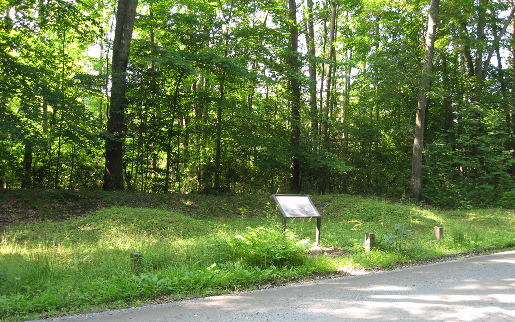
The marker is on the south side of Hancock Road to the west of Brock Road and the park entrance. The marker is on the Laurel Hill Trail. From here Union forces tried to outflank Lee’s Army at the beginning of the Battle of Spotsylvania, culminating in the charge of the Maryland Brigade, whose monument is across the field. The next marker on the trail is the Spindle House wayside marker.
Text from the marker:
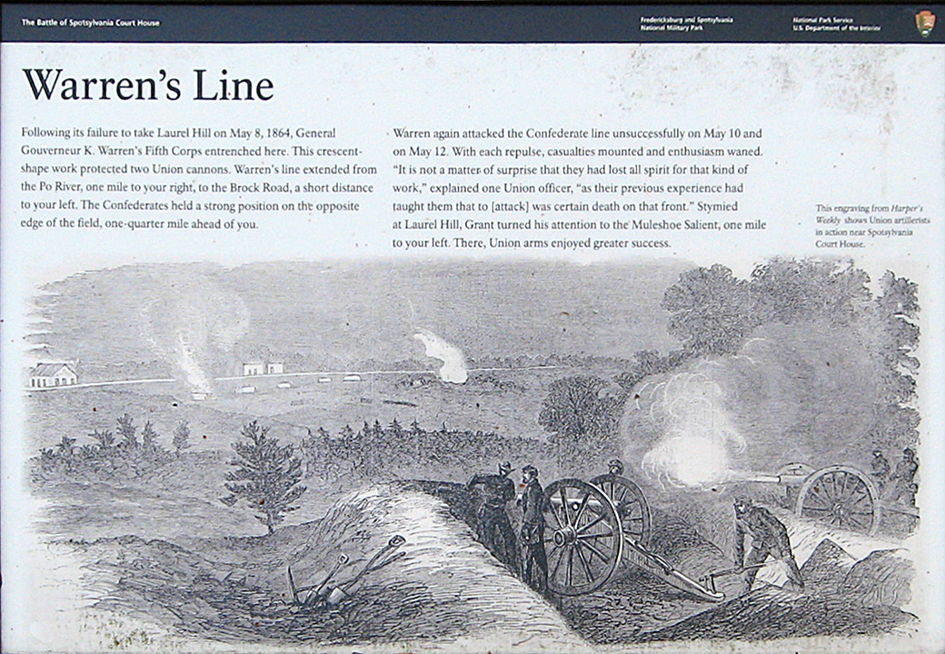
Warren’s Line
Following its failure to take Laurel Hill on May 8, 1864, General Gouverneur K. Warren’s Fifth Corps entrenched here. The crescent-shape work protected two Union cannons. Warren’s line extended from the Po River, one mile to your right, to the Brock Road, a short distance to your left. The Confederates held a strong position on the opposite edge of the field, one-quarter mile ahead of you.
Warren again attacked the Confederate line unsuccessfully on May 10 and on May 12. With each repulse, casualties mounted and enthusiasm waned. “It is not a matter of surprise that they had lost all spirit for that kind of work,” explained one Union officer, “as their previous experience had taught them that to [attack] was certain death on that front.” Stymied at Laurel Hill, Grant turned his attention to the Muleshoe Salient, one mile to your left. There Union arms enjoyed greater success.
Caption to the background drawing:
The engraving from Harper’s Weekly shows Union Artillerists in action near Spotsylvania Court House.
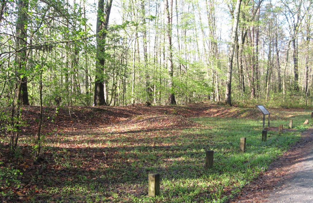
View of earthworks along Warren’s Line on the Laurel Hill walking trail
Map and directions to the Warren’s Line wayside marker
The marker is on the south side of Hancock Road (38°12’58.1″N 77°37’04.0″W) about 0.2 miles west of Brock Road and the park entrance.
(return to the Laurel Hill Trail page)
(return to the main Battle of Spotsylvania Auto Tour page)