
Battle of Chancellorsville • Tour the Battlefield • Monuments & Markers • The Armies
 The Chancellorsville Campaign – Orange Plank Road historical marker is on the north side of McLaws Drive just east of the Orange Plank Road, now known as Old Plank Road, and Stop 5 on the Auto Tour.
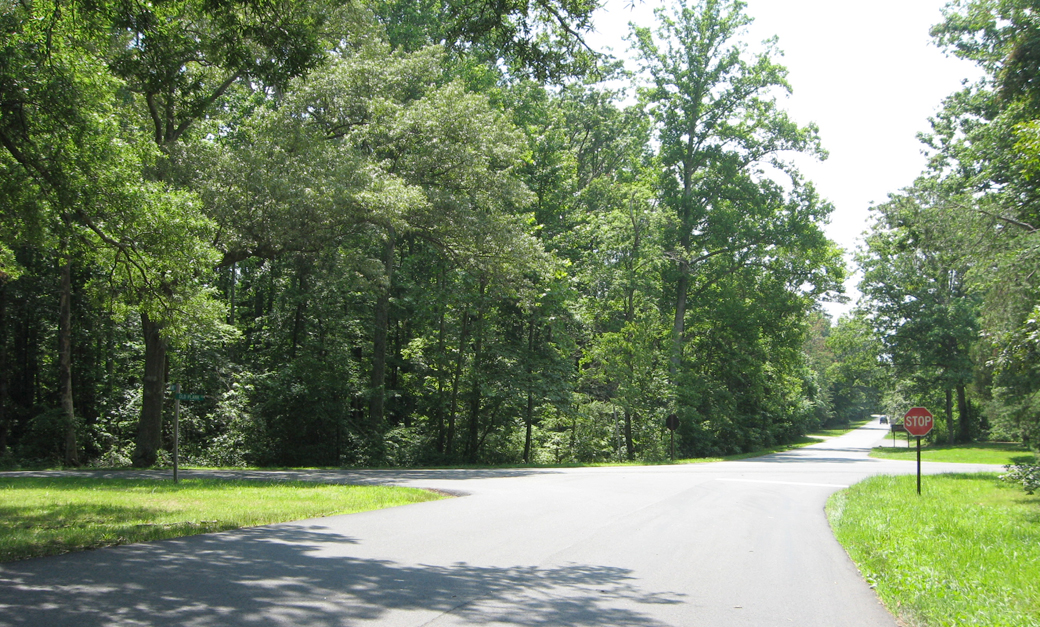
View west from McLaws Drive, which turns into Furnace Road past the intersection. The cross road is Old Plank Road, known at the time of the Civil War as Orange Plank Road. Stop 5 is on the right just past the intersection.
From the marker:
Chancellorsville Campaign
Just ahead is the crossing of the Orange Plank Road, a mid-nineteenth century trade route from the mountains to the navigable Rappahannock at Fredericksburg. Loaded wagons had the right-of-way on the planking, which covered half the roadbed. Successor to the crushed-stone Orange Turnpike, the Plank was likewise a pay road with toll gates. It diverged from the route of the old Pike in places to afford better traction on easier grades. By the time of the Civil War, the growth of railroads had reduced Fredericksburg’s western business.

Location of the Marker
The marker is on the north side of McLaws Drive about 140 feet east of Orange Plank Road, now known as Old Plank Road. There is a small pull off on the north side of the Drive. Stop Five on the Auto Tour is just ahes on the other side of Old Plank Road.
(go to the main Stop 5 page)
(go to the main Chancellorsville Battlefield Auto Tour page)