
Harpers Ferry Main • Tour the Battlefield > S Schoolhouse Ridge • Timeline
The “Flag Talk” wayside marker is west of Harpers Ferry on South Schoolhouse Ridge. It is a short distance from the Battle of Harpers Ferry marker.
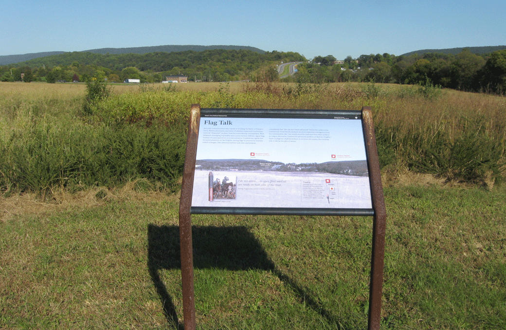
The ridge at the marker has a direct line of sight to Confederate positions on Loudoun Heights and Maryland Heights on the far sides of the Union position at Harpers Ferry. The Confederate positions completely encircled the Union forces, mostly on higher ground.
Text from the marker
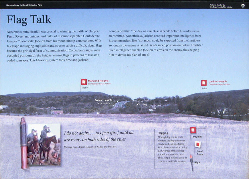
Flag Talk
Accurate communication was crucial to winning the Battle of Harpers Ferry. Rivers, mountains, and miles of distance separated Confederate General “Stonewall” Jackson from his mountaintop commanders. With telegraph messaging impossible and courier service difficult, signal flags became the principle form of communication. Confederate signal men occupied positions on the heights, waving flags in patters to transmit coded messages. This laborious system took time and Jackson complained that “the day was much advanced” before his orders were transmitted. Nonetheless, Jackson received important intelligence from his commanders, like “not much could be expected from their artillery so long as the enemy retained his advanced position on Bolivar Heights.” Such intelligence enabled Jackson to envision the enemy, thus helping him to devise his plan of attack.
I do not desire…to open [fire] until all are ready on both sides of the river.
Message flagged from Jackson to Walker and McLaws.
Text from the sidebar:
Flagging
Although fog or mist could interfere, the flag system was widely used and an effective form of communication during the Civil War. Only one flag or torch was used at a time. Three simple motions could be combined to signal a message.
Location of the Flag Talk wayside marker
The marker is on the South Schoolhouse Ridge Trail about 0.6 mile north of the trailhead. The trailhead is southwest of Harpers Ferry on the west side of Millville Road about 0.7 mile south of U.S. 340. (39°18’51.0″N 77°46’51.2″W)