
Harpers Ferry Main • Tour the Battlefield > Murphy Farm • Timeline
The “Fate of Harpers Ferry Was Sealed” wayside marker is south of Harpers Ferry in Harpers Ferry National Historical Park. 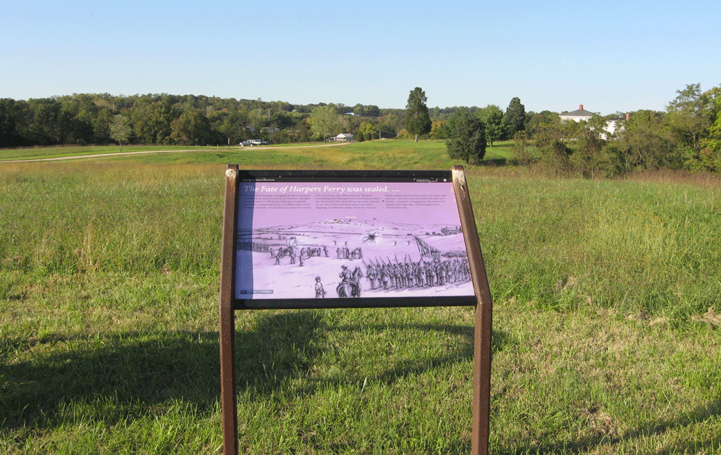
The marker is at the Confederate artillery position that flanked the main Union positions on Bolivar Heights, which is the wooded hill to the left.
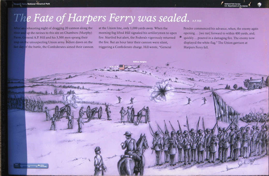
Text from the marker:
The Fate of Harpers Ferry Was Sealed
-A.P. Hill
After an exhausting night of dragging 20 cannon along the river and up the ravines to this site on Chambers (Murphy) Farm, General A.P. Hill and his 3,500 men sprang their trap on the unsuspecting Union army. Before dawn on the last day of the battle, the Confederates aimed their cannon at the Union line, only 1,000 yards away. When the morning fog lifted Hill signaled his artillerymen to open fire. Startled but alert, the Federals vigorously returned the fire. But an hour later their cannon were silent, triggering a Confederate charge. Hill wrote, “General Pender commenced his advance, when, the enemy again opening…[we ran] forward to within 400 yards, and, quickly… poured in a damaging fire. The enemy now displayed the white flag.” The Union garrison at Harpers Ferry fell.
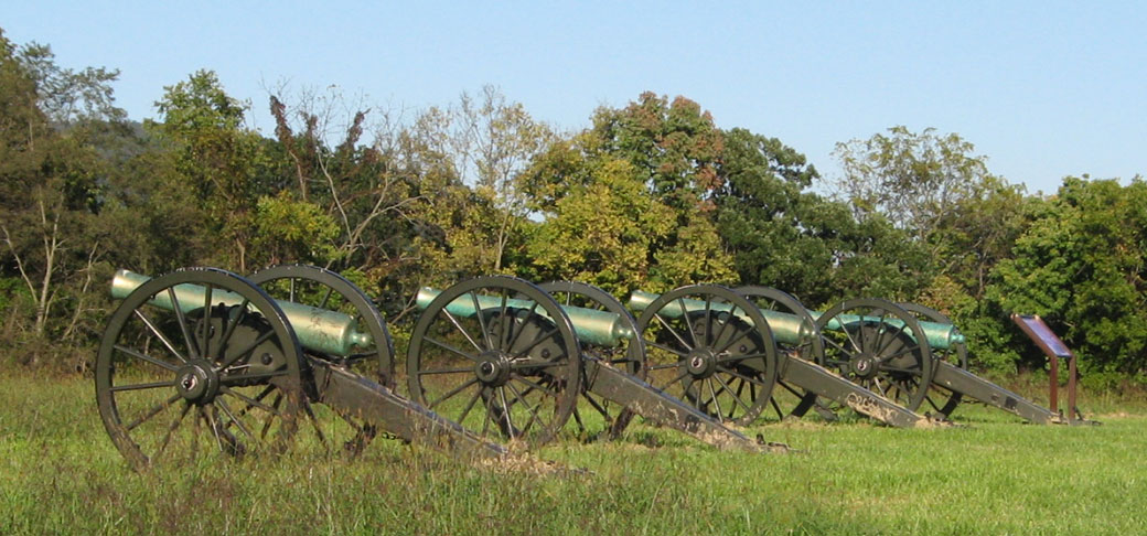
A battery of four guns next to the marker represent the Confederate artillery that was dragged here up a nearby gully (as told on the nearby Struggle to the Heights wayside marker) and sited to fire at the rear of the main Union position on Bolivar Heights.
Location of the marker
The Fate of Harpers Ferry Was Sealed wayside marker is on the Murphy’s Farm Trail about 200 yards south of the trailhead parking area on Murphy Road. From Shenandoah Street (the road to the Visitor Center) take Campground Road 0.25 mile west, then turn left on Murphy Road for 0.3 mile.
(go to the main Murphy Farm page)
(go to the main Tour the Harpers Ferry Battlefield page)