
Harpers Ferry Main • Tour the Battlefield > Murphy Farm • Timeline
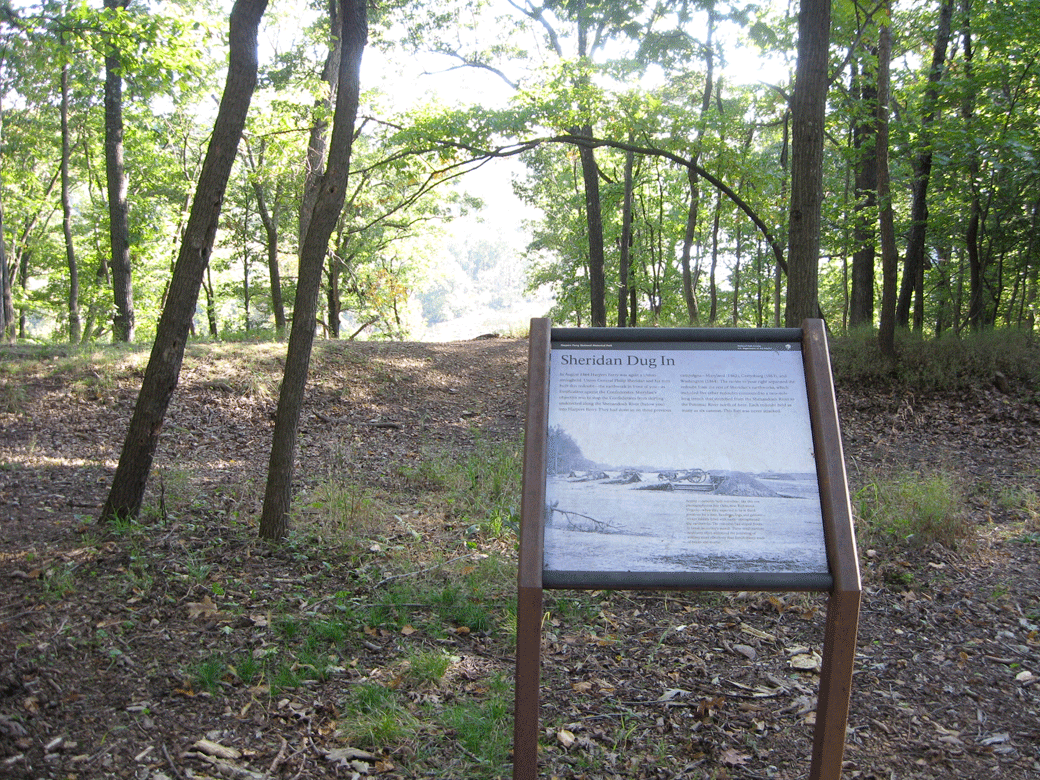
The Sheridan Dug In wayside marker is on the Murphy Farm Trail in Harpers Ferry National Historic Park.
Looking south past the wayside marker at earthworks on the edge of the bluffs overlooking the Shenandoah River.
Text from the marker:
Sheridan Dug In
In August 1864 Harpers Ferry was again a Union stronghold. Union General Philip Sheridan and his men built this redoubt—the earthwork in front of you—as fortification against the Confederates. Sheridan’s objective was to stop the Confederates from skirting undetected along the Shenandoah River (below you) into Harpers Ferry. They had done so on three previous campaigns—Maryland (1862), Gettysburg (1863), and Washington (1864). The ravine to your right separated the redoubt from the rest of Sheridan’s earthworks, which included five other redoubts connected to a two-mile-long trench that stretched from the Shenandoah River to the Potomac River north of here. Each redoubt held as many as six cannon. This fort was never attacked.
Caption to the photo:
Armies commonly built redoubts—like this one photographed at Fair Oaks, near Richmond, Virginia—when they expected to be in fixed positions for a time. Sandbags, logs, and gabions—wicker baskets filled with earth—strengthened earthworks. The redoubts had sloped fronts to break an enemy’s assault. These small earthen structures often withstood the pounding of artillery more effectively than fortifications made of bricks and mortar.

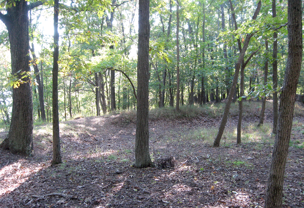
The earthworkers were constructed in 1864 when Harpers Ferry was a major supply depot for Sheridan’s campaign to clear Confederate forces from the Shenandoah Valley. They were never attacked.
Location of the marker
The marker is about 670 yards south of the trailhead on the Murphy Farm Trail. Take the trail south to just before the southern end of the Murphy Farm’s cleared field. An unpaved trail branches off to the west from the main trail into the woods. The marker is about 100 yards along the wooded trail. (39°18’28.3″N 77°45’50.8″W)
(go to the main Murphy Farm page)
(go to the main Tour the Harpers Ferry Battlefield page)