
Cold Harbor • Tour the Battlefield • Monuments & Markers • The Armies
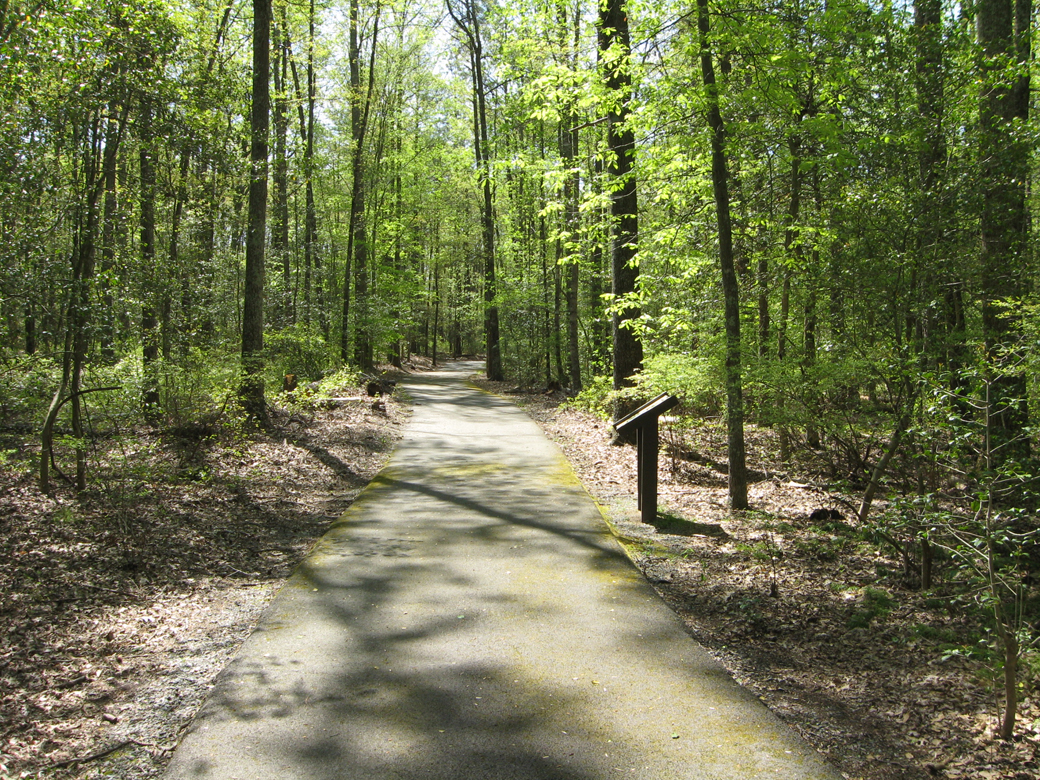
The ‘From Farmland to Forest’ wayside marker is along the mile long hiking trail in Hanover County Park. (see map below)
Text from the marker:
Cold Harbor Battlefield Park Walking Trail
Hanover County Parks and Recreation
From Farmland to Forest
Time has changed this landscape dramatically since the war. In 1864, much of the Cold Harbor area was cleared farmland. One Federal believed this openness of the land was “the greatest part of the misery” at Cold Harbor. The deadly fire of Confederate sharpshooters prevented Union soldiers from moving freely behind the lines. “There was no cover from the fire of the enemy,” a veteran observed, except in the trench itself.
To move safely between front and rear, Union troops constructed six parallel lines of breastworks. You are standing between the 4th and 5th line of works.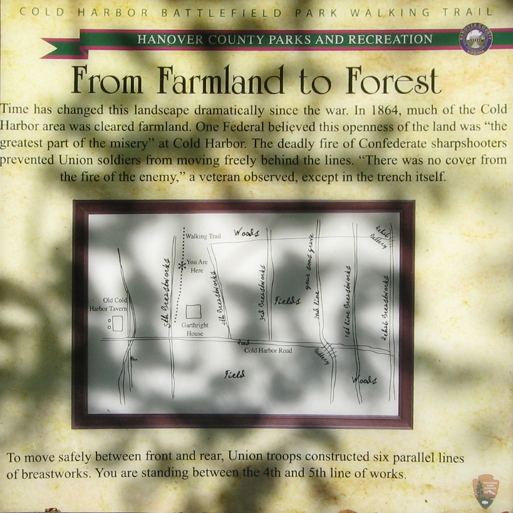
Location of the marker
The marker is on the one mile walking trail in Hanover County Park. (37°35’15.5″N 77°16’38.0″W) The park is on the south side of Cold Harbor Road (Virginia Route 156) about 650 feet east of the National Cemetery and next to Gathright House.