
Battle of Fredericksburg • Tour the Battlefield • Monuments & Markers • Armies
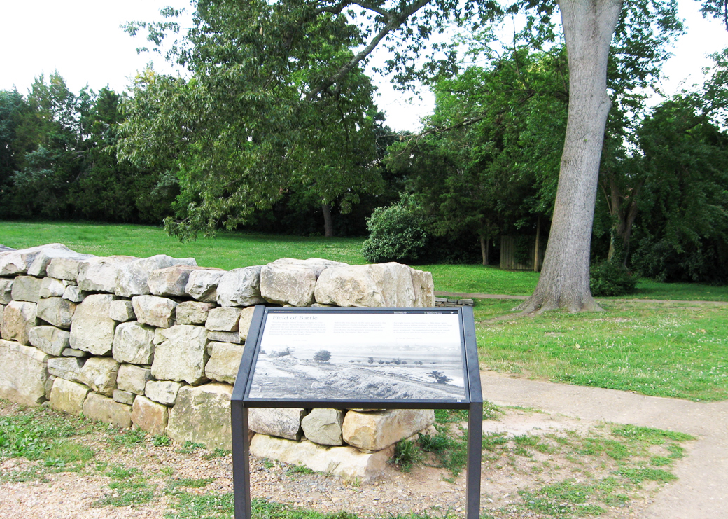
The Field of Battle wayside marker is at Stop One on the Fredericksburg battlefield Auto Tour. It is along the Sunken Road a short distance from the Visitor Center. (see map below)
Text from the marker:
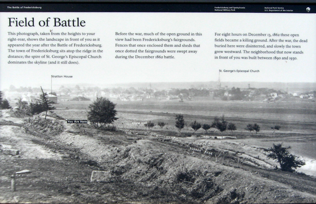
Field of Battle
This photograph, taken from the heights to your right-rear, shows the landscape in front of you as it appeared the year after the Battle of Fredericksburg. The town of Fredericksburg sits atop the ridge in the distance; the spire of St. George’s Episcopal Church dominates the skyline (and it still does).
Before the war, much of the open ground in this view had been Fredericksburg’s fairgrounds. Fences that once enclosed them and sheds that once dotted the fairgrounds were swept away during the December 1862 battle.
For eight hours on December 13, 1862 these open fields became a killing ground. After the war, the dead buried here were disinterred, and slowly the town grew westward. The neighborhood that now stands in front of you was built between 1890 and 1930.
Call-outs from the map (left to right)
Stratton House
St. George’s Episcopal Church
Location of the marker
The marker is on the Sunken Road trail about 360 feet north of the Visitor Center. It is at a break in the stone wall where a path leads in from the parking lot.