
Battle of Fredericksburg • Tour the Battlefield • Monuments & Markers • Facts • Armies
 Marye’s Heights is at Stop One of the Fredericksburg Battlefield Auto Tour. The heights are a ridge of hills -Taylor’s Hill, Stansbury Hill, Marye’s Hill, and Willis Hill – that parallel the river, rising some 40 to 50 feet above the plain. The result is a wall that when properly manned effectively sealed off any advance from Fredericksburg. A sunken road and a stone wall at the foot of Marye’s Hill and Willis Hill made the position almost impregnable, and a deathtrap to Union troops.

The Marye’s Heights Trail heading east from the National Cemetery.
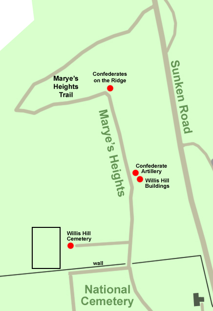
Today most of Marye’s Heights is part of the National Park. The Marye’s Heights Trail runs along the crest of the heights, connecting the northern part of the Sunken Road with the National Cemetery. There are several wayside markers on the Marye’s Heights Trail:
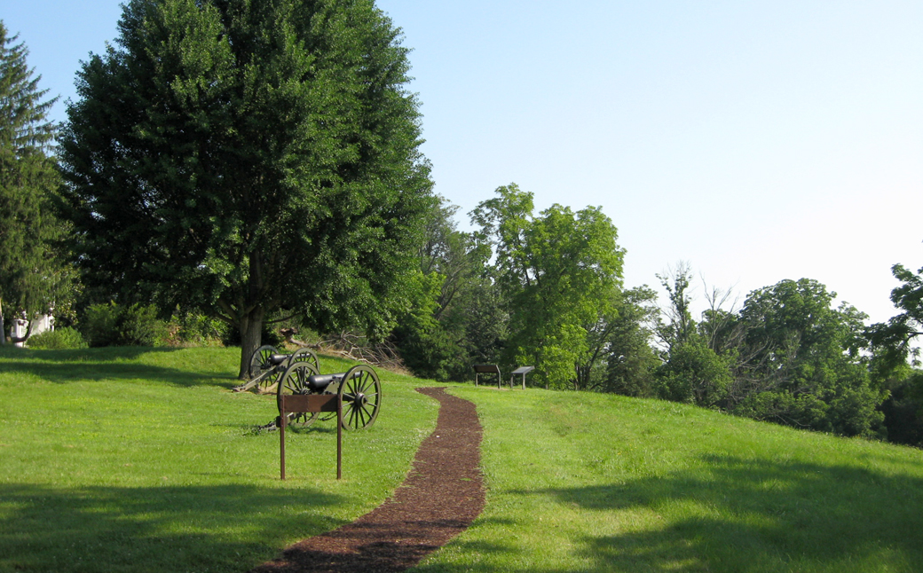
Confederate Artillery wayside marker
Confederates on the Ridge wayside marker
Willis Hill Buildings wayside marker
Willis Hill Cemetery wayside marker

View from Marye’s Heights. This scene looks down from the Cemetery to Lafayette Boulevard.