
Battle of Fisher’s Hill • Tour the Battlefield • 1864 Shenandoah Timeline
The Fisher’s Hill – Union Flank Attack wayside marker is west of Strasburg, Virginia along a walking trail on land preserved by the Civil War Trust. The marker is on the foot trail about 0.4 mile and about 100 feet in elevation from the parking area.
From the marker:
Fisher’s Hill
Union Flank Attack
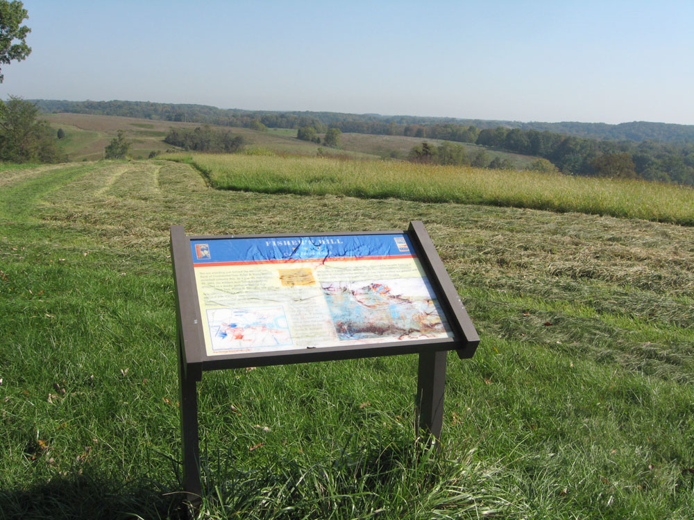
You are standing behind the extreme left flank of Confederate Gen. Jubal A. Early’s thinly stretched infantry line. At 4 p.m. on September 22, 1864, the soldiers here found themselves wrapped in a deadly pocket of Federal fire.
Union Gen. Philip H. Sheridan had sent Gen. George Crook’s corps sweeping around Early’s left flank that morning, and around 4 p.m. Crook’s men overwhelmed Confederate Gen. Lunsford L. Lomax’s cavalrymen at the foot of Little North Mountain to your left. The Federals then swept on to this point, where Confederate Gen. Stephen D. Ramseur’s infantrymen held firm to buy time for the rest of Early’s line to retreat. They also faced an attack from the north (your front) by Gen. James B. Rickett’s division, while other Federal units pressed the Confederate forces to your right.
Here, and in nearby earthworks, occurred the heaviest fighting of the Battle of Fisher’s Hill. Ramseur sent Gen. Cullen Battle’s Alabama Brigade to strengthen the Confederate line. Battle staked his position with a cedar stick, threatening any man who thought of running.
From the sidebar:
To your left is a “lookout” tree in which Confederate observers erected a platform after trimming branches and the top of the trunk. Scars from these modifications are still visible.
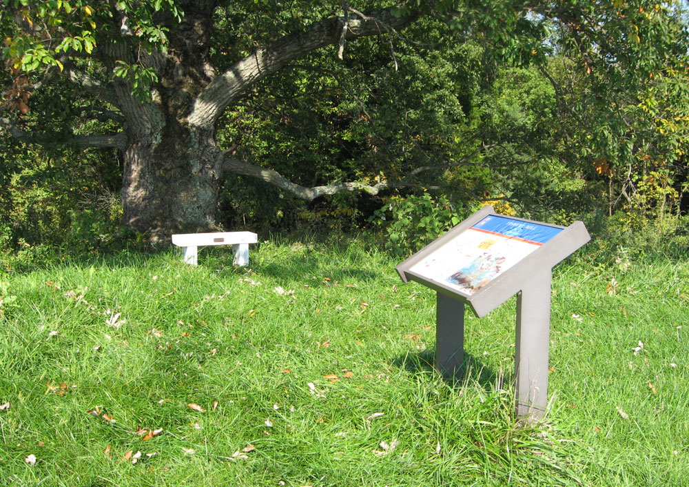
The lookout tree with a bench, welcome after the steep climb from the parking area.
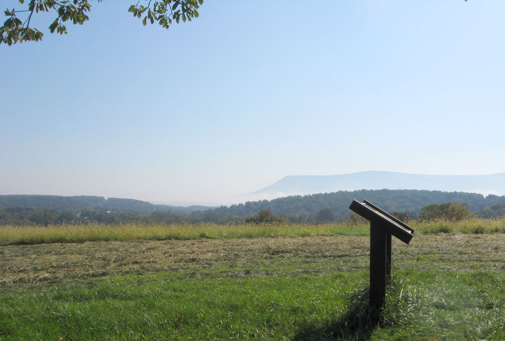
View of the marker from underneath the lookout tree with Masanutton Mountain in the distance
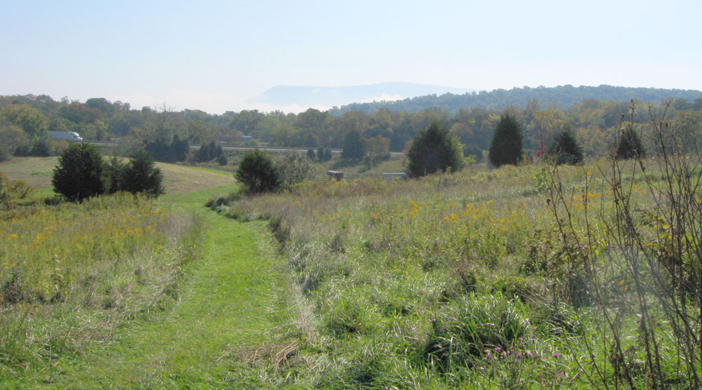
The trail up to the marker, looking from the Confederate position toward the Union lines
Map and directions to the marker
The Fisher’s Hill – Union Flank Attack wayside marker is west of Strasburg, Virginia along a walking trail on land preserved by the Civil War Trust. From Strasburg, take the Valley Pike (U.S. 11) about 1.5 miles, then turn right onto Battlefield Road (County Route 601). Follow Battlefield Road 0.7 mile until the intersection with Copp Road. Turn right (east), cross the small bridge, then immediately turn left. This is still Battlefield Road, and should be marked with brown “battlefield” arrows. Continue 1.0 mile, passing under Interstate 81. The Civil War Trust parking area is 0.1 mile past the Interstate on the left. The marker is on the foot trail about 0.4 mile (and about 100 feet in elevation) from the parking area. (38°59’16.8″N 78°25’13.6″W)