
Battle of Chancellorsville • Tour the Battlefield • Monuments & Markers • The Armies
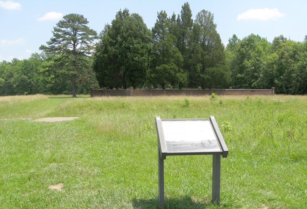
 The Chancellor Cemetery wayside marker is on the Fairview walking trail. The trailhead is Stop Ten on the Battle of Chancellorsville Auto Tour. (map)
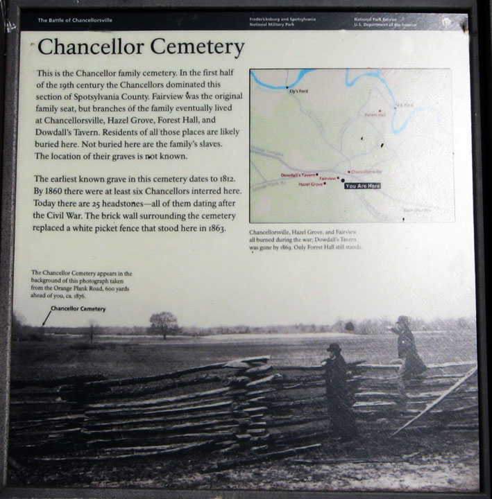
Text from the marker:
Chancellor Cemetery
This is the Chancellor family cemetery. In the first half of the 19th century the Chancellors dominated this section of Spotsylvania County. Fairview was the original family seat, but branches of the family eventually lived at Chancellorsville, Hazel Grove, Forest Hall, and Dowdall’s Tavern. Residents of all those places are likely buried here. Not buried here are the family’s slaves. The location of their graves is not known.
The earliest known grave in the cemetery dates to 1812. By 1860 there were at least six Chancellors interred here. Today there are 25 headstones – all of them dating after the Civil War. The brick wall surrounding the cemetery replaced a white picket fence that stood here in 1863.
From the caption for the photo at the lower left:
The Chancellor Cemetery appears in the background of this photograph taken from the Orange Plank Road, 600 yards from you, ca. 1876.
From the caption to the inset map:
Chancellorsville, Hazel Grove, and Fairview all burned during the war. Dowdall’s Tavern was gone by 1869. Only Forest Hall still stands.
Location of the Marker
The marker is on the Fairview walking trail about 750 feet from the trailhead and 135 feet northwest of the Chancellor Cemetery.
(go to the main Stop 10 page)
(return to the main Chancellorsville Battlefield Auto Tour page)