
Battle of Fredericksburg • Tour the Battlefield • Monuments & Markers • Facts • Armies
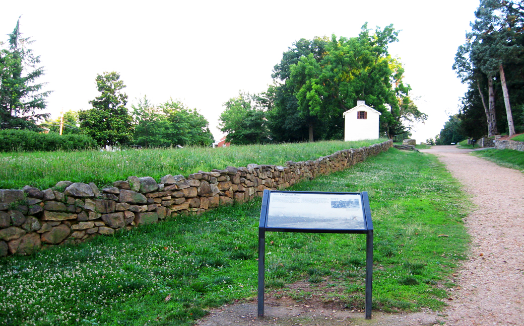
The Original Wall wayside marker is at Stop One on the Fredericksburg battlefield Auto Tour along the Sunken Road..
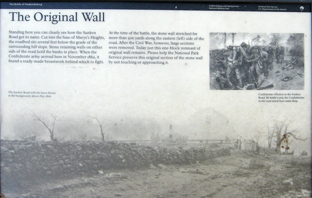
Text from the marker:
The Original Wall
Standing here you can clearly see how the Sunken Road got its name. Cut into the base of Marye’s Heights, the roadbed sits several feet below the grade of the surrounding hill slope. Stone retaining walls on either side of the road hold the banks in place. When the Confederate army arrived here in November 1862, it found a ready-made breastwork behind which to fight.
At the time of the battle, the stone wall stretched for more than 500 yards along the eastern (left) side of the road. After the Civil War, however, large sections were removed. Today just this one-block remnant of original wall remains. Please help the National Park Service preserve this original section of the stone wall by not touching or approaching it.
From the caption to the inset drawing:
The Sunken Road with the Innis House in the background, about 1865-1866.On the upper right is a drawing of Confederate riflemen in the Sunken Road. By battle’s end, the Confederates in the road stood four ranks deep.
Location of the marker
The marker is on the Sunken Road Trail about 0.2 mile north of the Visitor Center and about 40 yards north of the Kirkland Monument.