
Battle of Fredericksburg • Tour the Battlefield • Monuments & Markers • Armies
The “Second Battle of Fredericksburg” wayside marker is in the National Cemetery, at Stop One on the Battlefield Auto Tour.
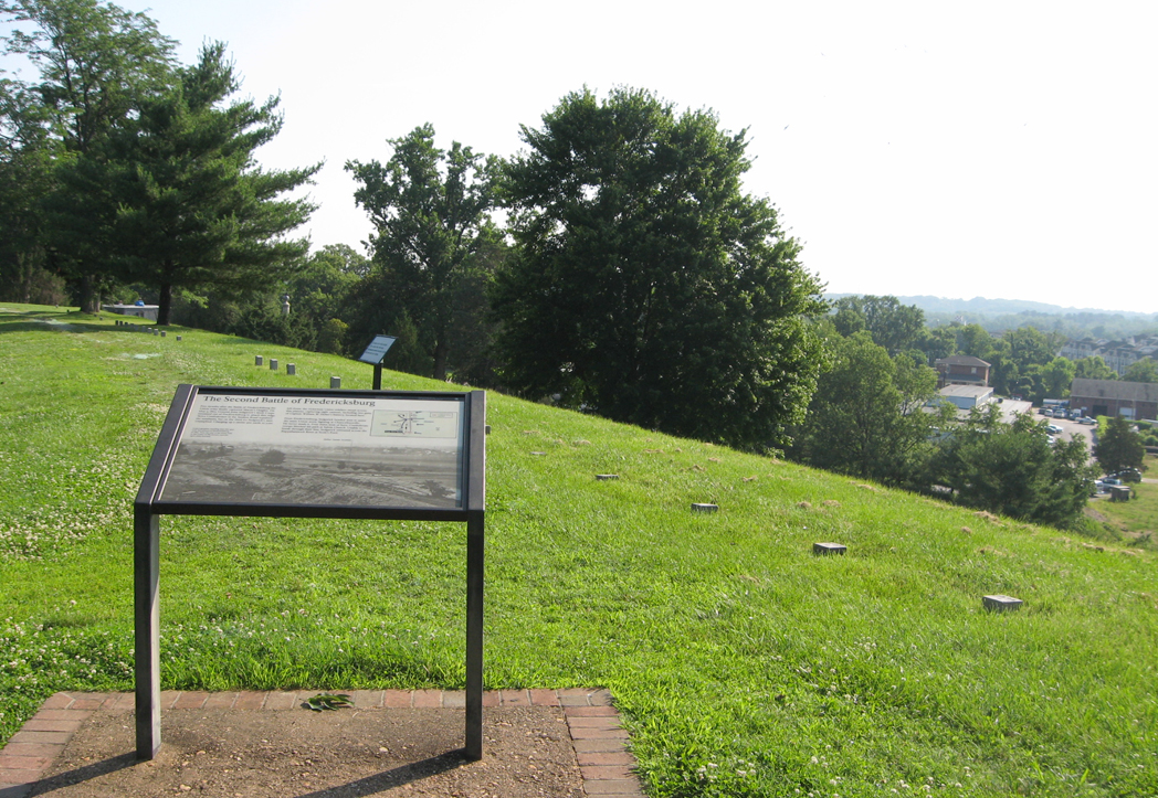
The marker is on the edge of Marye’s Heights in the National Cemetery
Text from the marker:
The Second Battle of Fredericksburg
Five months after the Battle of Fredericksburg the Union army finally captured Marye’s Heights. On May 5, 1863, General John Sedgwick’s Sixth Corps streamed out of Fredericksburg to attack this ridge. Twice Confederates on the Sunken Road repulsed the assaults, but on the third try Sedgwick’s men triumphed. Charging up a ravine 500 yards to your left-front, the victorious Union soldiers swept across this plateau, capturing eight cannon, including two guns of Captain William W. Parker’s battery, located here.
From Fredericksburg, Sedgwick headed west to assist the main Union army, fighting at Chancellorsville. He never made it. Four miles west of here, Confederate troops blocked his path at Salem Church. Unable to break through their line, Sedgwick retreated across the Rappahannock River at Scott’s Ford.
From the caption to the background photo:
A photographer standing near this spot took this picture of Fredericksburg in 1864. Note the end of the stone wall, in the center of the picture, and the open plain beyond.

Location of the marker
The marker is in the National Cemetery southwest of the Visitor Center. Follow the path from the Sunken Road entry to the cemetery, up the hill past the flagpole, then follow the crest of the hill about 400 feet past the flagpole.