
Harpers Ferry Main • Tour the Battlefield > Bolivar Heights • Timeline
The “Closing the Doors” wayside marker is west of Harpers Ferry on Bolivar Heights in Harpers Ferry National Historic Park. The marker is at the intersection of Whitman Avenue and Prospect Avenue next to the parking area for the Bolivar Heights trailhead.
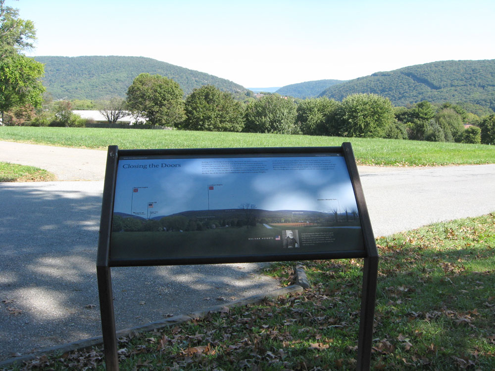
The marker looks east from Bolivar Heights over the town and confuence of the Shenandoah and Potomac Rivers
Text from the marker:
Closing the Doors
Resting with his troops in Frederick, Maryland, 20 miles northeast of here, Confederate General Robert E. Lee had hoped the Union garrison at Harpers Ferry would abandon its post when he invaded the North. They did not. Lee decided to attack. He divided his army into four columns, sending three to seize the three mountains overlooking Harpers Ferry. On the first day of the battle, the Confederates captured Loudoun Heights, south of the Shenandoah River. North of the Potomac, Union forces abandoned Maryland Heights after a nine-hour defense. “Stonewall” Jackson seized Schoolhouse Ridge to the west, closing all doors of escape. Bolivar Heights, the mountain you stand on, remained in Union control. The Confederates were now poised to attack the surrounded garrison.
Caption from the inset photo:
Union Commander Dixon Miles faced a great disadvantage. Outnumbered nearly two to one by the surrounding Confederates, many of Miles’s troops were raw recruits, untrained and undisciplined, who had been in the army for only three weeks.
Location of the marker
The marker is at the intersection of Whitman Avenue and Prospect Avenue on the south side of the parking area for the Bolivar Heights trailhead. (39°19’25.2″N 77°45’40.1″W)