
Harpers Ferry Main • Tour the Battlefield > Bolivar Heights
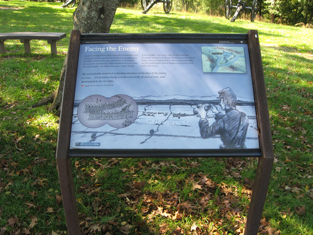
The Facing the Enemy wayside marker is west of Harpers Ferry on Bolivar Heights in Harpers Ferry National Historic Park. The marker is at the intersection of Whitman Avenue and Prospect Avenue next to the parking area for the Bolivar Heights trailhead.
From the marker:
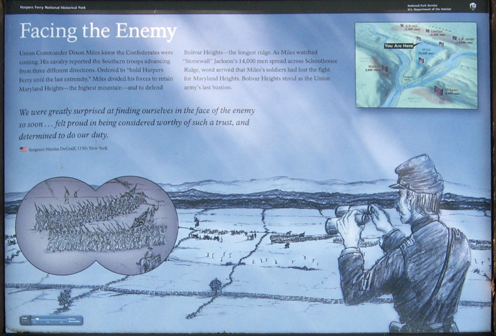
Facing the Enemy
Union Commander Dixon Miles knew the Confederates were coming. His cavalry reported the Southern troops advancing from three different directions. Ordered to “hold Harpers Ferry until the last extremity.” Miles divided his forces to retain Maryland Heights – the highest mountain – and to defend Bolivar Heights – the longest ridge. As Miles watched “Stonewall” Jackson’s 14,000 men spread across Schoolhouse Ridge, word arrived that Miles’s soldiers had lost the fight for Maryland Heights. Bolivar Heights stood as the Union army’s last bastion.
We were greatly surprised at finding ourselves in the face of the enemy so soon … felt proud in being considered worthy of such a trust, and determined to do our duty.
Sergeant Nicolas DeGraff,
115th New York
See more about the history of the 115th New York Infantry Regiment in the Civil War.