
Harpers Ferry Main • Tour the Battlefield > Bolivar Heights
The Historic Heights wayside marker is on Bolivar Heights in the Harpers Ferry National Historic Park. The marker is at the beginning of the Bolivar Heights walking trail, west of Harpers Ferry at the intersection of Whitman and Prospect Avenues, next to the parking area.
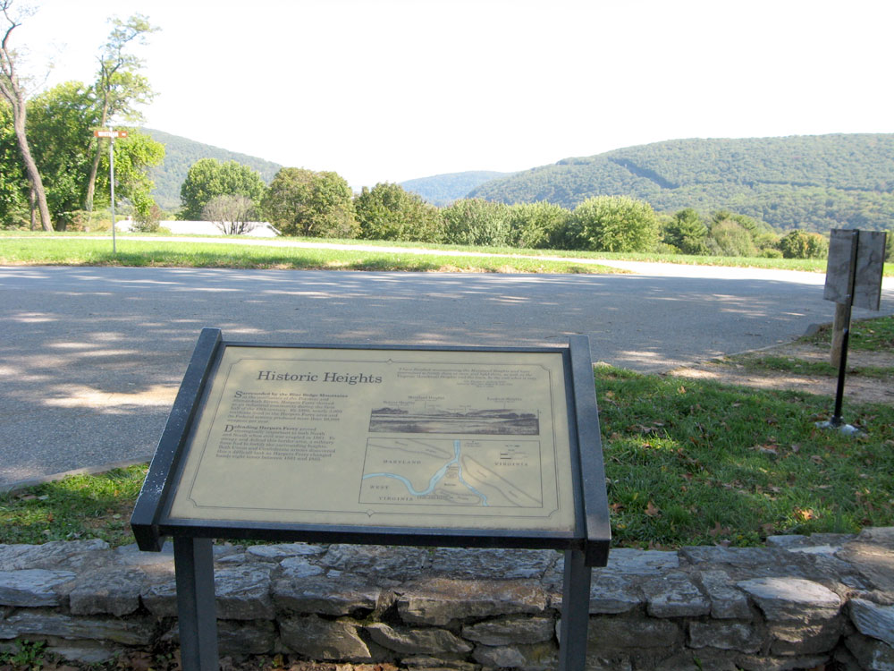
The marker faces east toward the sweeping vista of the Potomac River cutting between Maryland Heights and Loudoun Heights
From the marker:
Historic Heights
“I have finished reconnoitering the Maryland Heights and have determined to fortify them at once, and hold them, as well as the Virginia (Loudoun) Heights and the town, be the cost what it may.“
Col. Thomas J. Jackson
Letter to Maj. Gen. Robert E. Lee
May 7, 1861
Surrounded by the Blue Ridge Mountains at the confluence of the Potomac and the Shenandoah Rivers, Harpers Ferry thrived as an industrial community during the first half of the 19th century. By 1860, nearly 3,000 residents lived in the Harpers Ferry area and its Federal armory produced more than 10,000 weapons per year.
Defending Harpers Ferry proved strategically important to both North and South when the civil war erupted in 1861. To occupy and defend this border area, a military force had to fortify the surrounding heights. Both Union and Confederate armies discovered this a difficult task as Harpers Ferry changed hands eight times between 1861 and 1865.

Callouts from the drawing:
Bolivar Heights (elevation 670 feet)
Maryland Heights (elevation 1448 feet)
Camp Hill
Harpers Ferry
Short Hill
Bolivar
Loudoun Heights (elevation 1,190 feet)
