
Harpers Ferry Main • Tour the Battlefield > Campground • Timeline
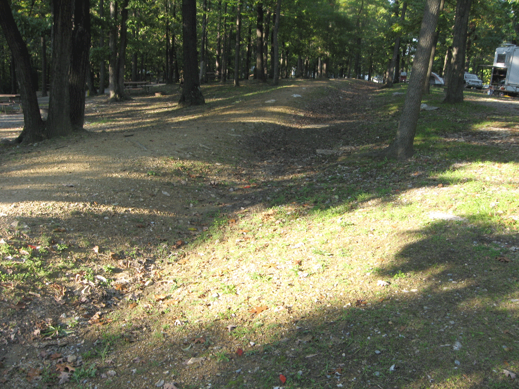
When Harpers Ferry became the major supply point for Sheridan’s Shenandoah Valley Campaign in 1864 the ground south of Bolivar Heights down to the Shenandoah River was fortified. Over the years this became a campground. The defensive positions are preserved. There are several historical markers. The first is next to the replica of John Brown’s Fort, while the remaining five are along the driveways in the campground.
The campground is south of U.S. 340 at the end of Campground Road. (see map at bottom) It is private property and permission to visit should be obtained from the campground staff.

At the center of the campground a half scale replica of John Brown’s Fort houses the Museum of the Civil War Reenactor, next to the First Major Action marker.
First Major Action marker
The First Major Action marker is next to the half scale replica of John Brown’s Fort at the center of the campground.

Text from the marker:
First Major Action
On Sept. 13, 1862 Stonewall Jackson’s forces approaching from the west were shelled by 2 Union artillery guns under Col. Miles from this position. On Sept. 14, Gen. A.P. Hill outflanked these Union troops while Jackson swept past this location. Col. Miles surrendered over 11,000 men and valuable military stores on Sept. 15. He was killed by a stray shot.
Area History marker
Text from the marker:
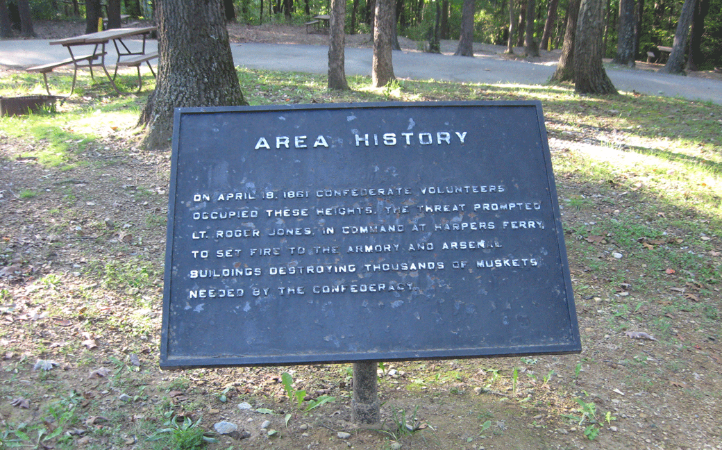
Area History
On April 18, 1861 Confederate volunteers occupied these heights. The threat prompted Lt. Roger Jones, in command at Harpers Ferry, to set fire to the armory and arsenal buildings destroying thousands of muskets needed by the Confederacy.
The Abatis marker

Text from the marker:
The Abatis
During the construction of this fort, many of the trees which were located directly in front of these embankments were felled forming an “abatis”. This timber obstruction slowed the advance of the attacking forces so that snipers, infantry, and the artillery behind the fort could easily range in on the enemy.
Gun Position #6 marker
The Gun Position #6 marker is on private property in the Harpers Ferry KOA campground. The campground is on Campground Road, which runs west from Shenandoah Road (the road to the National Park Visitor Center). (39°18’57.0″N 77°45’45.7″W; map) The markers are along the driveways in the campground.
Text from the marker:
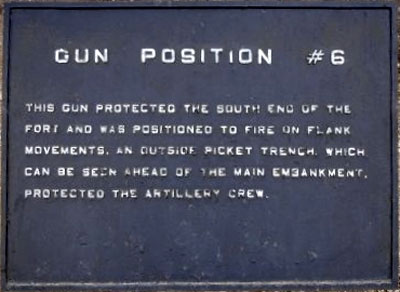
Gun Position #6
This gun protected the south end of the fort and was positioned to fire on flank movements. An outside picket trench, which can be seen ahead of the main embankment, protected the artillery crew.
Infantry Positions marker
Text from the marker:
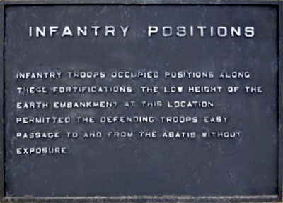
Infantry Positions
Infantry troops occupied positions along these fortifications. The low height of the earth embankment at this location permitted the defending troops easy passage to and from the abatis without exposure.
Sheridan Fortifications marker
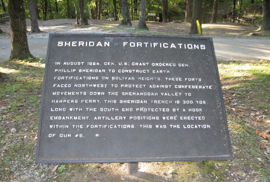
Text from the marker:
Sheridan Fortifications
In August 1864, Gen. U.S. Grant ordered Gen. Phillip Sheridan to construct earth fortifications on Bolivar Heights. These forts faced northwest to protect against Confederate movements down the Shenandoah Valley to Harpers Ferry. This Sheridan trench is 300 yds. long with the south end protected by a hook embankment. Artillery positions were erected within the fortifications. This was the location of gun #5.
Map to the KOA campground
The KOA campground at Harpers Ferry is at the end of Campground Road, which can be reached from U.S. 340 by heading south very briefly on Shenandoah Street and then immediately turning west. The campground is private property and permission to visit should be obtained from the campground staff. (39°18’57.0″N 77°45’45.7″W; m)