
Harpers Ferry Main • Tour the Battlefield > Murphy Farm • Timeline
The Mountains, Men and Maneuvers wayside marker is south of Harpers Ferry on the Murphy Farm Trail in Harpers Ferry National Historical Park.
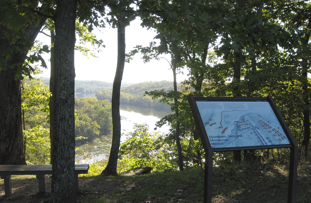
The marker is on the edge of the bluff overlooking the Shenandoah River. A shaded bench offers a perfect place to enjoy the view.
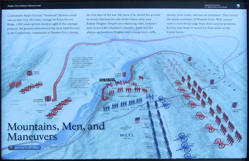
Text from the marker:
Mountains, Men and Maneuvers
Confederate Major General “Stonewall” Jackson could not see this view. His lower vantage on Schoolhouse Ridge, 1000 yards upriver, blocked his sight of this strategic position. Yet Jackson remembered this farm from his time as Confederate commander at Harpers Ferry during the first days of the war. He knew if he seized this ground he would threaten the rear of the Union army atop Bolivar Heights. Despite overwhelming odds, Jackson’s men secured the Chambers (Murphy) Farm and the plateau on Loudoun Heights, overcoming rivers, cliffs, ravines, poor roads, and narrow shorelines. They forced the surrender of Harpers Ferry. With cannon now in close firing range from these surprise positions, Jackson was ready to launch his final attack on the Union forces.
Captions to the map:
Crutchfield’s soldiers worked feverishly through the night following a road up the mountainside and dragging 10 cannon into position on Loudoun Height’s
Hill’s troops moved down the Shenandoah River and struggled with their 20 cannon until they reached the high ground of Chambers (Murphy) Farm.
Location of the marker
The marker is about 650 yards south of the trailhead on the Murphy Farm Trail. The trailhead is reached from Shenandoah Street to Campground Road to Murphy Road. (39°18’27.3″N 77°45’46.6″W)
(go to the main Murphy Farm page)
(go to the main Tour the Harpers Ferry Battlefield page)