
Appomattox Court House > Confederate Cemetery
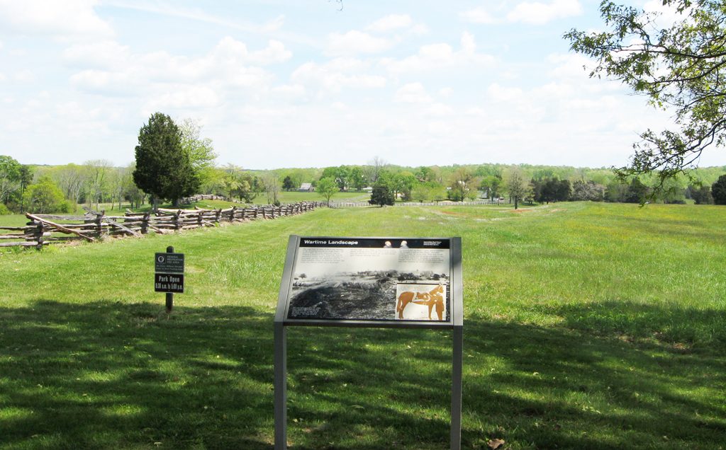
The Wartime Landscape wayside marker at Appomattox Court House National Historical Park stands next to the old Richmond-Lynchburg stage road and looks across the open fields toward the village of Appomattox Court House, a view that is little changed since the Civil War. The Appomattox monument, A Strategic Delay wayside marker and Confederate Cemetery are nearby.
From the marker:
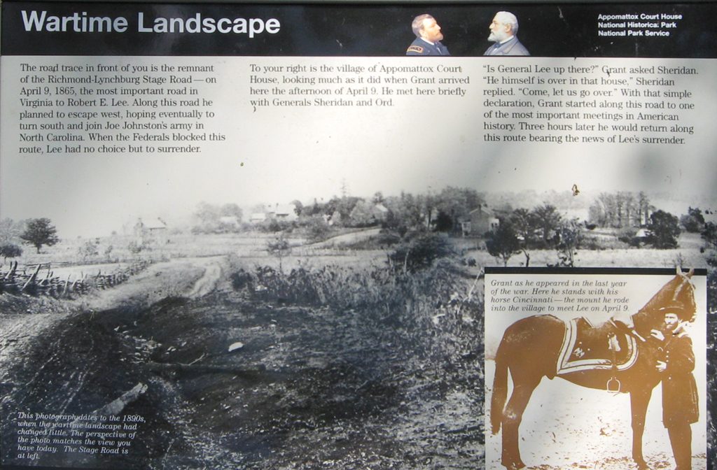
Wartime Landscape
The road trace in front of you is the remnant of the Richmond-Lynchburg Stage Road – on April 9, 1865, the most important road in Virginia to Robert E. Lee. Along this road he planned to escape west, hoping eventually to turn south and join Joe Johnston’s army in North Carolina. When the Federals blocked this route, Lee had no choice but to surrender.
To your right is the village of Appomattox Court House, looking much as it did when Grant arrived here the afternoon of April 9. He met her briefly with Generals Sheridan and Ord.
“Is General Lee up there?” Grant asked Sheridan. “He himself is over in that house,” Sheridan replied. “Come, let us go over.” With that simple declaration, Grant started along this road to one of the most important meetings in American history. Three hours later he would return along this route bearing news of Lee’s surrender.
From the caption to the background photo:
This photograph dates to the 1890s, when the wartime landscape had changed little. The perspective of the photo matches the view you have today. The Stage Road is at left.
From the caption to the inset photo at lower right:
Grant as he appeared in the last year of the war. Here he stands with his horse Cincinnati – the mount he rode into the village to meet Lee on April 9.
Location
The Wartime Landscape wayside marker is about 200 feet northeast of the north side of the Confederate Cemetery parking area on the west side of the park. It is next to the trace of the old Richmond-Lynchburg stage road.