
Battle of Brandy Station • Tour the Battlefield • Historical & Wayside Markers • The Armies
“The Largest Cavalry Battle of the Civil War” wayside marker is just east of the driveway to the parking area for the Civil War Trust St. James Church loop trailhead. The marker and trailhead are about 3 miles northeast of Brandy Station, Virginia, about one mile north of the James Madison Highway (U.S. 15 & 29) on Beverly Ford Road, at the intersection with St. James Church Road, next to the Culpeper Regional Airport.
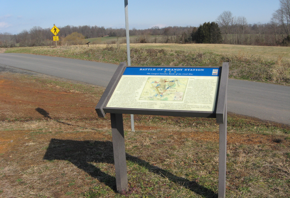
The marker looks north across St. James Church Road toward land preserved by the Civil War Trust. Two markers can be seen in the middle distance on the St. James Church Loop Trail, which starts here. Confederate artillery held this ground during the battle and was attacked by the Sixth Pennsylvania Cavalry from across the field in front of the marker. The Pennsylvanians broke the line of artillery but were repulsed by supporting Confederate cavalry.
Text from the marker:
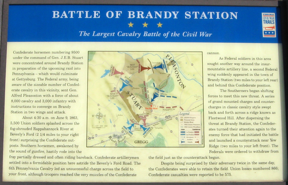
Battle of Brandy Station
The Largest Cavalry Battle of the Civil War
Confederate horsemen numbering 9500 under the command of Gen. J.E.B. Stuart were concentrated around Brandy Station in preparation of the upcoming raid into Pennsylvania – which would culminate at Gettysburg. The Federal army, being aware of the sizable number of Confederate cavalry in this vicinity, sent Gen. Alfred Pleasonton with a force of about 8,000 cavalry and 3,000 infantry with instructions to converge on Brandy Station in two wings and attack.
About 4:30 a.m. on June 9, 1863, 5,500 Union soldiers splashed across the fog-shrouded Rappahannock River at Beverly’s Ford (2 1/4 miles to your right front) surprising the Confederate outposts. Southern horsemen, awakened by the sound of gunfire, hastily rode into the fray partially dressed and often riding bareback. Confederate artillerymen settled into a formidable position here astride the Beverly’s Ford Road. The 6th Pennsylvania Cavalry led an unsuccessful charge across the field to your front, although troopers reached the very muzzles of the Confederate cannon.
As Federal soldiers in this area sought another way around the insurmountable artillery line, a second Federal wing suddenly appeared in the town of Brandy Station (two miles to your left rear) and behind this Confederate position.
The Southerners began shifting forces to meet this new threat. A series of grand mounted charges and counter-charges in classic cavalry style swept back and forth across a ridge known as Fleetwood Hill. After dispersing the threat at Brandy Station, the Confederates turned their attention again to the enemy force that had initiated the battle and launched a counterattack near Yew Ridge (two miles to your left front). The Federals were ordered to withdraw from the field just as the counterattack began.
Despite being surprised by their adversaries twice in the same day, the Confederates were able to retain the field. Union losses numbered 866, Confederate casualties were reported to be 575.
Location of the marker
The trailhead for the St. James Church loop trail and “The Largest Cavalry Battle of the Civil War” wayside marker is about one mile north of the James Madison Highway (U.S. 15 & 29) on Beverly Ford Road, at the intersection with St. James Church Road. It is just to the east of the driveway to the Civil War Trust parking area. (38°31’18.1″N 77°51’56.1″W)