
Battle of Fisher’s Hill • Tour the Battlefield • 1864 Shenandoah Timeline
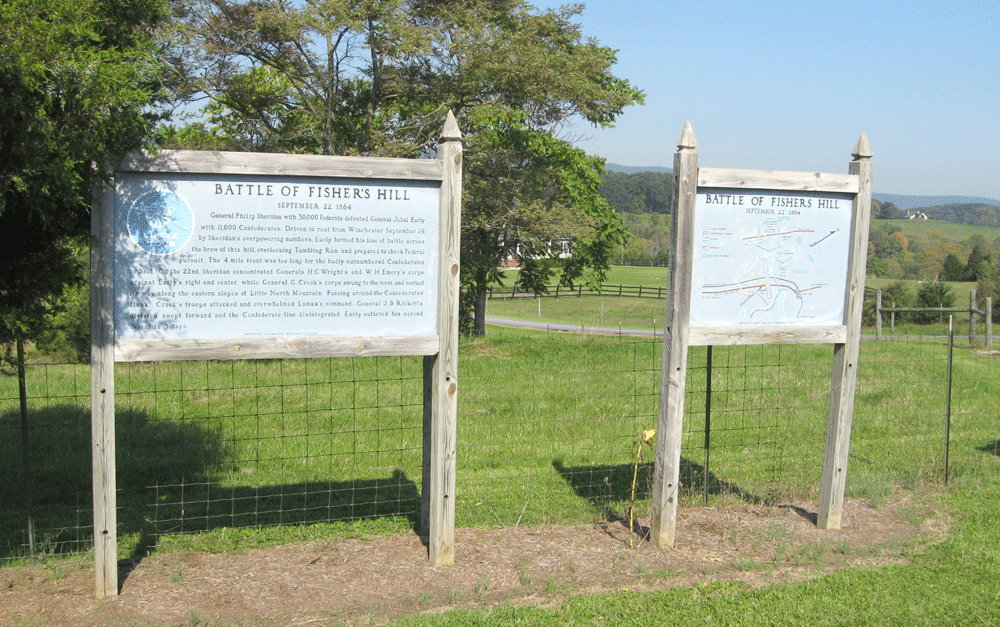
The Battle of Fisher’s Hill Circle Tour markers are about 2 miles south of Strasburg on the northwest side of the Valley Pike (U.S. 11). They were erected in 1964 by the Virginia Civil War Commission. Circle Tour markers consist of two signs, one showing a map of the battle and the second text that goes with the map. A Virginia historical marker on the Battle of Fisher’s Hill (A 22) is next to the CIrcle Tour markers.
From the marker:
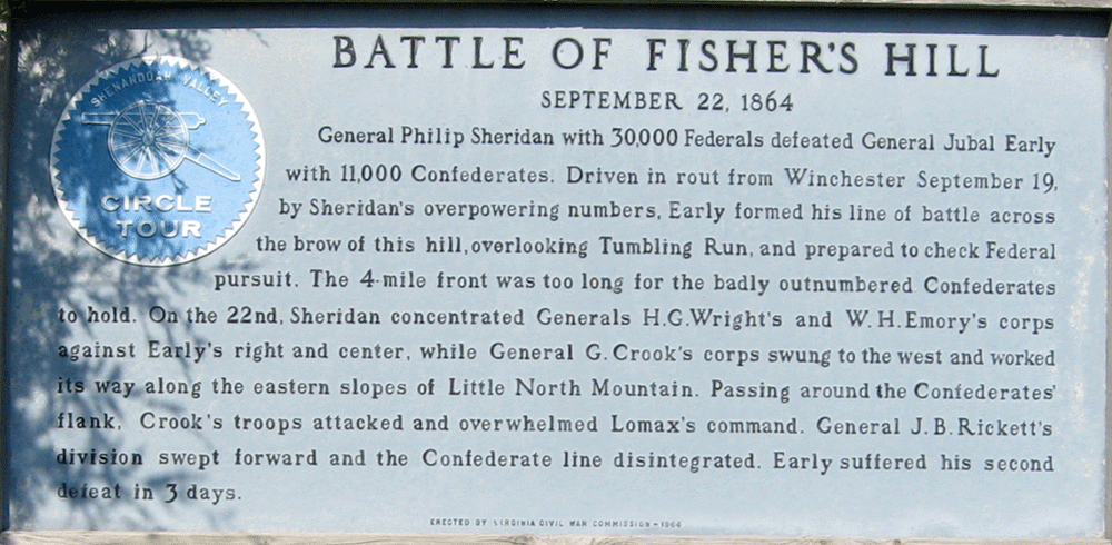
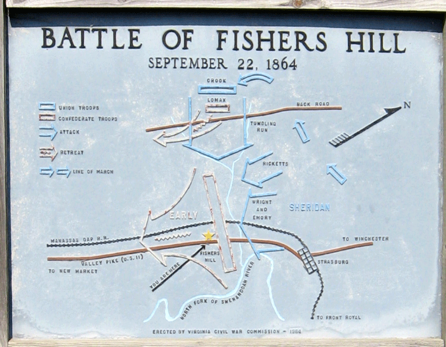
Battle of Fisher’s Hill
September 22, 1864
General Philip Sheridan with 30,000 Federals defeated General Jubal Early with 11,000 Confederates. Driven in route from Winchester September 19, by Sheridan’s overpowering numbers, Early formed his line of battle across the brow of this hill, overlooking Tumbling Run, and prepared to check Federal pursuit. The 4-mile front was too long for the badly outnumbered Confederates to hold. On the 22nd, Sheridan concentrated Generals H.G. Wright’s and W.H. Emory’s corps against Early’s right and center, while General G. Crook’s corps swung to the west and worked its way along the eastern slopes of Little North Mountain. Passing around the Confederates’ flank, Crook’s troops attacked and overwhelmed Lomax’s command. General J. B. Rickett’s division swept forward and the Confederate line disintegrated. Early suffered his second defeat in 3 days.
Erected by Virginia Civil War Commission 1964
Map and directions to the markers
The Battle of Fisher’s Hill Civil War Circle Tour markers are about 2 miles south of Strasburg on the northwest side of the Valley Pike (U.S. 11), just as the highway transitions from a divided highway to two lanes. (38°58’27.2″N 78°24’03.1″W)