
Battle of Fisher’s Hill • Tour the Battlefield • Battle Facts • 1864 Shenandoah Timeline
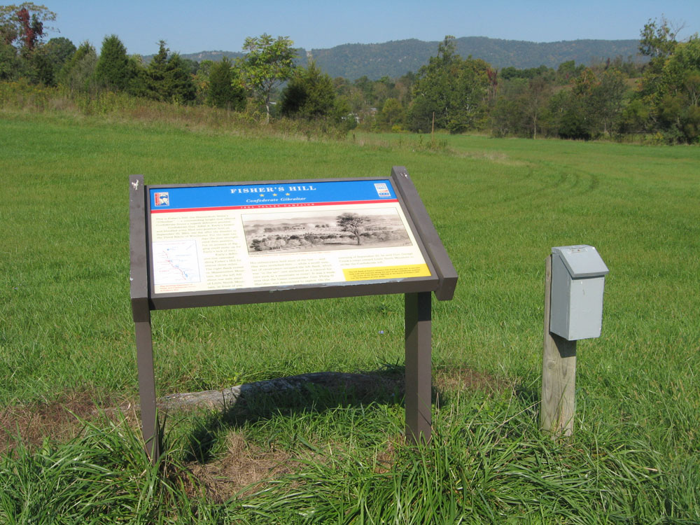
The Fisher’s Hill – Confederate Gibraltar wayside marker is on the walking trail at the Civil War Preservation Trust’s battlefield site. The marker is on the foot trail about 150 yards (not counting the considerable vertical rise!) from the parking area.

Intersection of Battlefield Road and Battlefield Road. Probably.
From the marker:
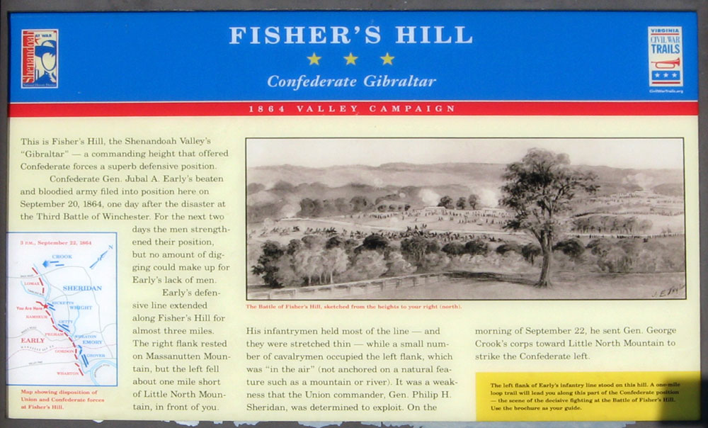
Fisher’s Hill
Confederate Gibralter
1864 Valley Campaign
This is Fisher’s Hill, the Shenandoah Valley’s “Gibraltar” – a commanding height that offered Confederate forces a superb defensive position.
Confederate Gen. Jubal A. Early’s beaten and bloodied army filed into position here on September 20, 1864, one day after the disaster at the Third Battle of Winchester. For the next two days the men strengthened their position, but no amount of digging could make up for Early’s lack of men.
Early’s defensive line extended along Fisher’s Hill for almost three miles. The right flank rested on Massanutten Mountain, but the left fell about one mile short of Little North Mountain, in front of you. His infantrymen held most of the line – and they were stretched thin – while a small number of cavalrymen occupied the left flank, which was “in the air” (not anchored on a natural feature such as a mountain or river). It was a weakness that the Union commander, Gen. Philip H. Sheridan, was determined to exploit. On the morning of September 22, he sent Gen. George Crook’s corps toward Little North Mountain to strike the Confederate left.
From the sidebar:
The left flank of Early’s infantry line stood on this hill. A one-mile loop trail will lead you along this part of the Confederate position-the scene of the decisive fighting at the Battle of Fisher’s Hill. Use the brochure as your guide.
From the caption to the main drawing:
The Battle of Fisher’s Hill, sketched from the heights to your right (north).
Location of the marker
The Fisher’s Hill – Confederate Gibraltar wayside marker is on the walking trail at the Civil War Preservation Trust’s battlefield site. From Strasburg, take the Valley Pike (U.S. 11) about 1.5 miles, then turn right onto Battlefield Road (County Route 601). Follow Battlefield Road 0.7 mile until the intersection with Copp Road. Turn right (east), cross the small bridge, then immediately turn left. This is still Battlefield Road, and should be marked with brown “battlefield” arrows. Continue 1.0 mile, passing under Interstate 81. The Civil War Trust parking area is 0.1 mile past the Interstate on the left. The marker is on the foot trail about 150 yards from the parking area. (38°59’20.1″N 78°24’55.7″W)