
The Banks’ Fort A-24 Virginia historical marker is on the north side of Strasburg, Virginia. It was erected in 1927 by the Virginia Conservation & Development Commission.
Union General Nathanial Banks built the earthworks in the spring of 1862 when Union forces advanced up the Shenandoah Valley after the First Battle of Kernstown on March 22, 1862. He was forced to evacuate Strasburg and withdraw north to Winchester when “Stonewall” Jackson overran the Union outpost at Front Royal on May 23, 1862 and threatened Banks’ line of retreat, leading to the First Battle of Winchester on May 25.
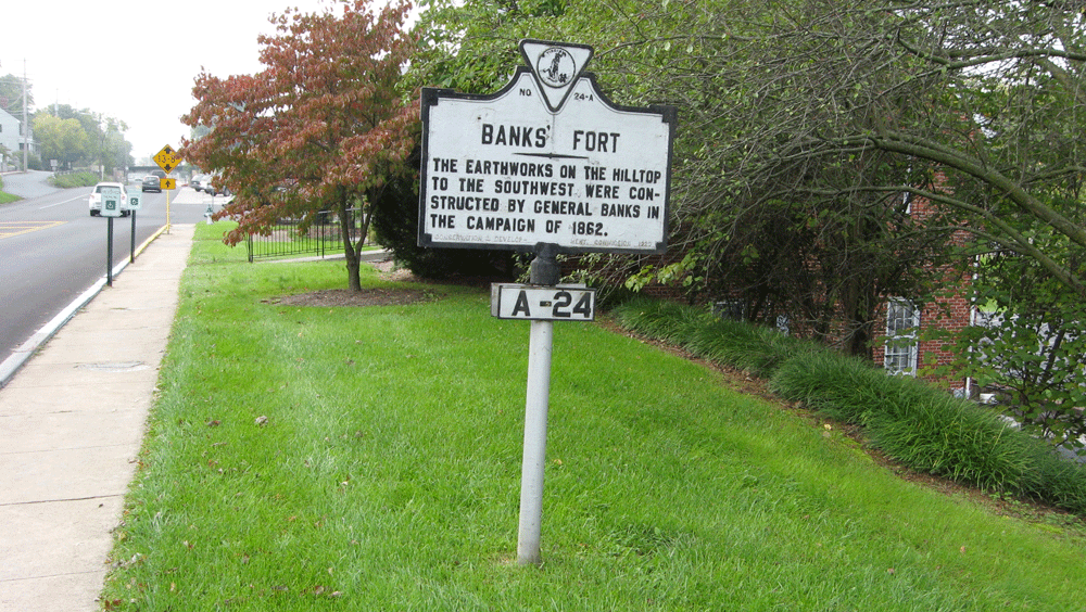
Looking south along Masanutton Street (U.S. 11) on the north side of Strasburg Virginia.
From the marker:
Banks’ Fort
The earthworks on the hilltop
to the southwest were con-
structed by General Banks in
the campaign of 1862.
Erected 1927 by Conservation & Development Commission
A-24
Location
The marker is on the north side of Strasburg, Virginia on the west side of N. Massanutten Street (Valley Pike, U.S. 11) about 250 feet north of the intersection with Virginia Route 55, the John Marshall Highway. (38°59’31.8″N 78°21’26.4″W)