Strasburg > Hupp’s Hill Civil War/Karst interpretive walking trail
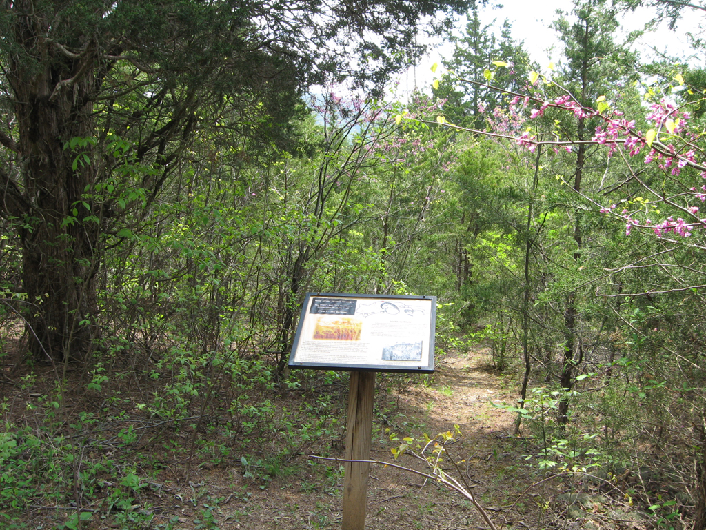
The Burning CWK 8 trail marker is on the Hupp’s Hill Civil War/Karst Interpretive Walking Trail at the Hupp’s Hill Civil War Park north of Strasburg, Virginia.
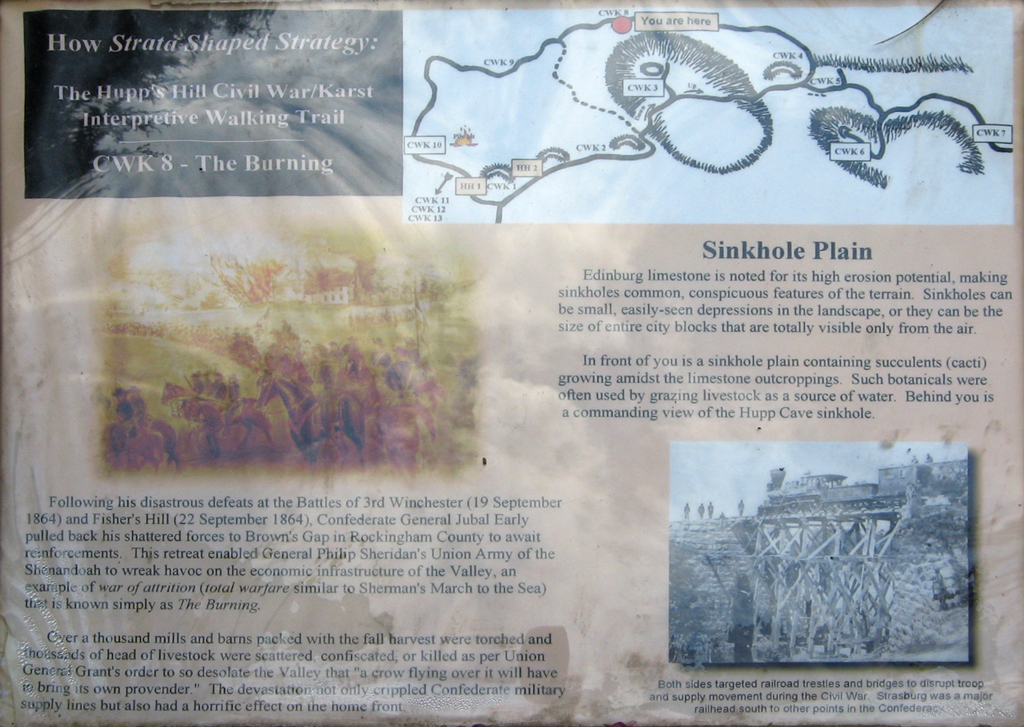
How Strata Shaped Strategy:
The Hupp’s Hill Civil War/Karst
Interpretive Walking Trail
CWK 8 – The Burning
Following his disastrous defeats at the Battles of 3rd Winchester (19 September 1864) and Fisher’s Hill (22 September 1864), Confederate General Jubal Early pulled back his shattered forces to Brown’s Gap in Rockingham County to await reinforcements. This retreat enabled General Philip Sheridan’s Union Army of the Shenandoah to wreak havoc on the economic infrastructure of the Valley, and example of war of attrition (total warfare similar to Sherman’s March to the Sea) that is known simply as The Burning.
Over a thousand mills and barns packed with the fall harvest were torched and thousands of head of livestock were scattered, confiscated, or killed as per Union General Grant’s order to so desolate the Valley that “a crow flying over it will have to bring its own provender.” The devastation not only crippled Confederate military supply lines but also had a horrific effect on the home front.
Sinkhole Plain
Edinburg limestone is noted for its high erosion potential, making sinkholes common, conspicuous features of the terrain. Sinkholes can be small, easily-seen depressions in the landscape, or they can be the size of entire city blocks that are totally visible only from the air.
In front of you is a sinkhole plain containing succulents (cacti) growing amidst the limestone outcroppings. Such botanicals were often used by grazing livestock as a source of water. Behind you is a commanding view of the Hupp Cave sinkhole.
From the caption to the photo on the lower right:
Both sides targeted railroad trestles and bridges to disrupt troop and supply movement during the Civil War. Strasburg was a major railhead south to other points in the Confederacy.