
The Civil War Strasburg – Strategic Intersection wayside marker on Civil War Strasburg is outside the Strasburg Museum. It was erected by Erected by Civil War Trails. The marker is on the east side of the Strasburg Museum. (see map below) A marker and sign on the Great Train Raid of 1861 are also at the museum. A small marker for The Great Train Raid Reenactment (below) is next to the Strategic Intersection marker.
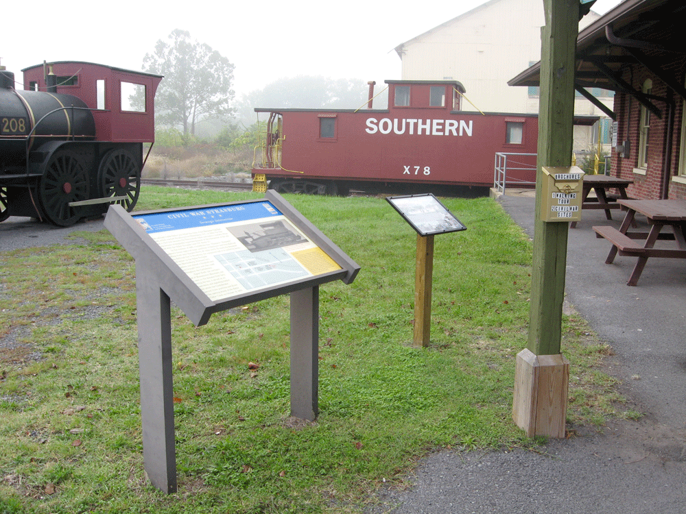
The marker for The Great Train Raid is east of the Museum next to a wayside marker on Civil War Strasburg – Strategic Intersection
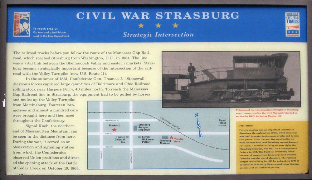
From the marker
Civil War Strasburg
Strategic Intersection
The railroad tracks before you follow the route of the Manassas Gap Railroad, which reached Strasburg from Washington, D.C., in 1854. The line was a vital link between the Shenandoah Valley and eastern markets. Strasburg became strategically important because of the intersection of the railroad with the Valley Turnpike (now U.S. Route 11).
In the summer of 1861, Confederate Gen. Thomas J. “Stonewall” Jackson’s forces captured large quantities of Baltimore and Ohio Railroad rolling stock near Harper’s Ferry, 40 miles north. To reach the Manassas Gap Railroad line in Strasburg, the equipment had to be pulled by horses and mules up the Valley Turnpike from Martinsburg. Fourteen locomotives and almost a hundred cars were brought here and then used throughout the Confederacy.
Signal Knob, the northern end of Massanutten Mountain, can be seen in the distance from here. During the war, it served as an observation and signaling station from which the Confederates observed Union positions and directed the opening attack of the Battle of Cedar Creek on October 19, 1864.
From the sidebar:
Pot Town
Pottery making was an important industry in Strasburg throughout the 1800s, when local clay was used to make food-storage crocks and decorative pieces. After the war, five small potteries were located here, and Strasburg was nicknamed Pot Town. The brick building on your right, the Strasburg Museum, was built as a steam pottery factory in 1891. The business eventually failed because of competition from large mid-western factories and the use of glass jars. The railroad bought the building in 1913 for a depot. In 1970, it became the Strasburg Museum and today displays an excellent collection of pottery.
From the caption to the photograph at upper right:
Thirteen of the 14 locomotives brought to Strasburg were recovered after the Civil War and returned to service by B&O, including engine 199.
Location
The Museum, wayside marker and signs are on the east side of Strasburg, Virginia on the south side of King Street (Virginia Route 55) about 900 feet east of the intersection with Massanutton Street (U.S. 11). (38°59’14.9″N 78°21’20.3″W)