
Battles of Manassas • Tour the Battlefield • Monuments • Facts • The Armies
The “Unfinished Railroad” trailside marker is next to the parking area at Stop 5 on the Manassas Battlefield Driving Tour. It is next to the Sudley Connector Trail which leads to Stop 6 on the Manassas Battlefield Driving Tour.
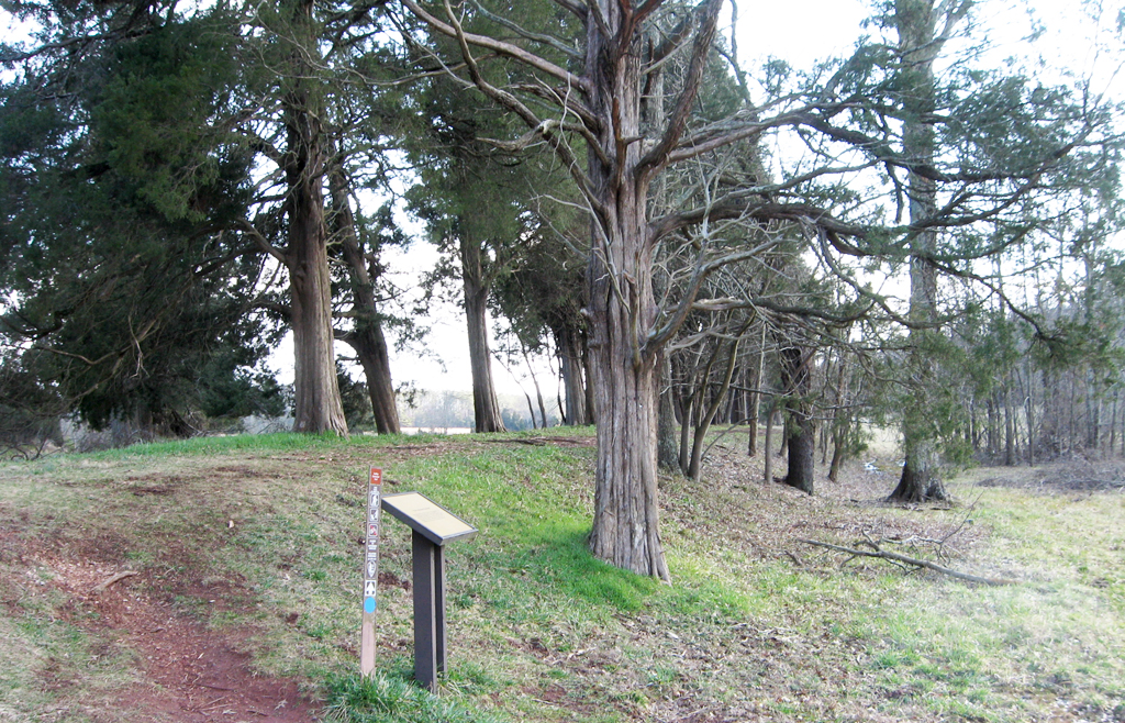
The marker stands next to the unfinished railroad roadbed which caries the Sudley connector trail.
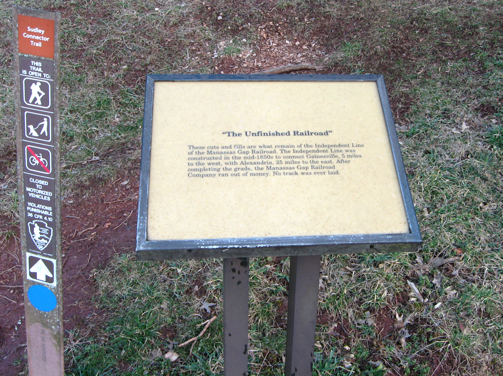
Text from the trailside marker:
“The Unfinished Railroad”
These cuts and fills are what remain of the Independent Line of the Manassas Gap Railroad. The Independent Line was constructed in the mid-1850s to connect Gainesville, 5 miles to the west, with Alexandria, 25 miles to the east. After completing the grade, the Manassas Gap Railroad Company ran out of money. No track was ever laid.
Location of the marker
The “Unfinished Railroad” trailside marker is at Stop 5 of the Manassas Battlefield Driving Tour, on the west side of Sudley Road, Virginia Route 234, about 1.6 mile north of US 29 and 0.9 mile north of Stop 4, Matthew Hill. The small paved parking area is on the west side of the highway about 300 feet south of the Sudley Methodist Church parking lot. The marker is on the south side of the parking lot past the short set of steps up the embankment. (38°50’19.7″N 77°32’15.3″W)