
Battles of Manassas • Tour the Battlefield • Monuments • Facts • The Armies
The Fighting in Twilight wayside marker is next to the 14th New York State Militia Regiment near the north end of New York Avenue on the way to Stop 9 of the Manassas Battlefield Driving Tour.
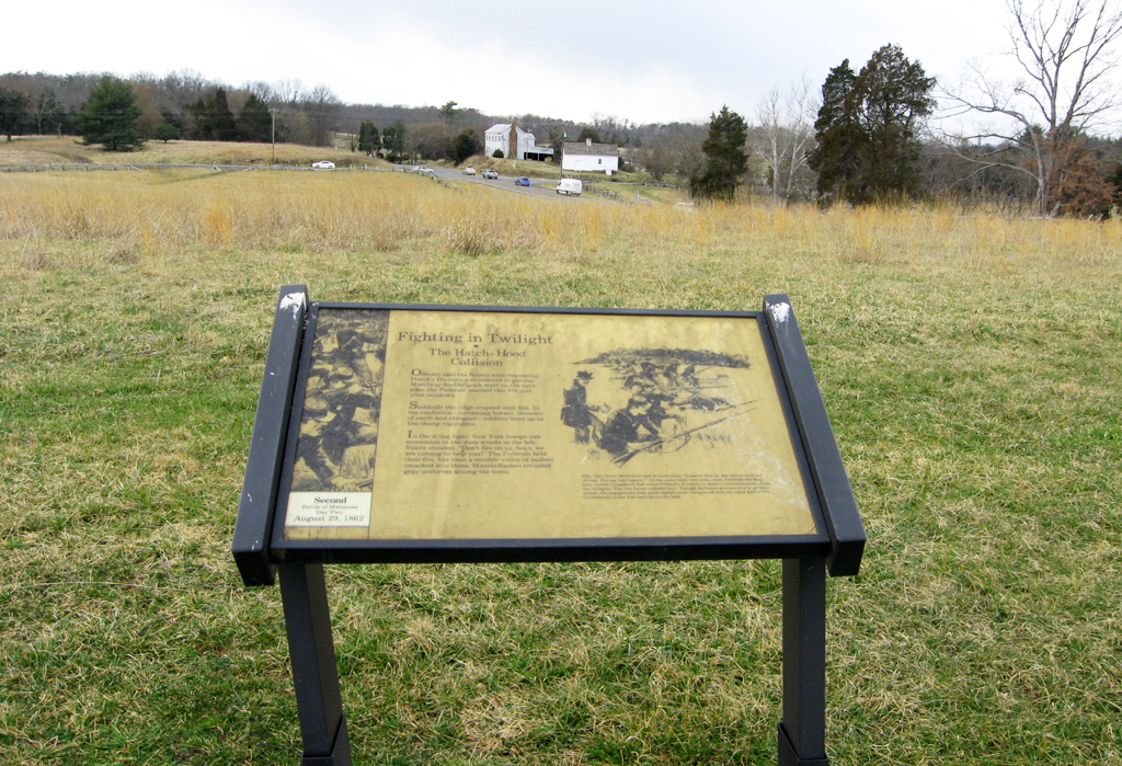
The marker overlooks the intersection of Groveton Road and Lee Highway, US 29.
From the wayside marker:
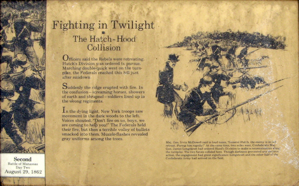
Fighting in Twilight
The Hatch-Hood Collision
Officers said the Rebels were retreating. Hatch’s Division was ordered to pursue. Marching double-quick west on the turnpike, the Federals reached this hill just after sundown.
Suddenly the ridge erupted with fire. In the confusion—screaming horses, showers of earth and shrapnel—soldiers lined up in the wrong regiments.
In the dying light, New York troops saw movement in the dark woods to the left. Voices shouted “Don’t fire on us, boys, we are coming to help you!” The Federals held their fire, but then a terrible volley of bullets smacked into them. Muzzle-flashes revealed gray uniforms among the trees.
from the caption to the drawing at lower right:
Maj. Gen. Irving McDowell said in loud tones, “General Hatch, the enemy is in full retreat. Pursue him rapidly!” At the same time, two miles west, Confederate Maj. Gen. James Longstreeet had ordered Hood’s Division to make a reconnaissance along the turnpike. The two forces collided here. Though darkness prevented any decisive action, the engagement had great significance. Longstreet and the other half of the Confederate Army had arrived on the field.
Location of the marker
The monument is 50 yards south of the Lee Highway (U.S. 29) and about 250 yards east of Groveton Road. It is across Lee Highway from Stop 8 of the Manassas Battlefield Driving Tour and at the beginning of the access road to Stop 9. Access is from New York Avenue from which there is a path up the hill to the monument. (38°48’46.6″N 77°32’46.6″W)