
Battles of Manassas • Tour the Battlefield • Monuments • The Armies
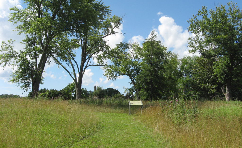
The Brownsville wayside marker is near the Brownsville Picnic Area in the southwest part of the battlefield park. It is not on the Manassas Battlefield Driving Tour.
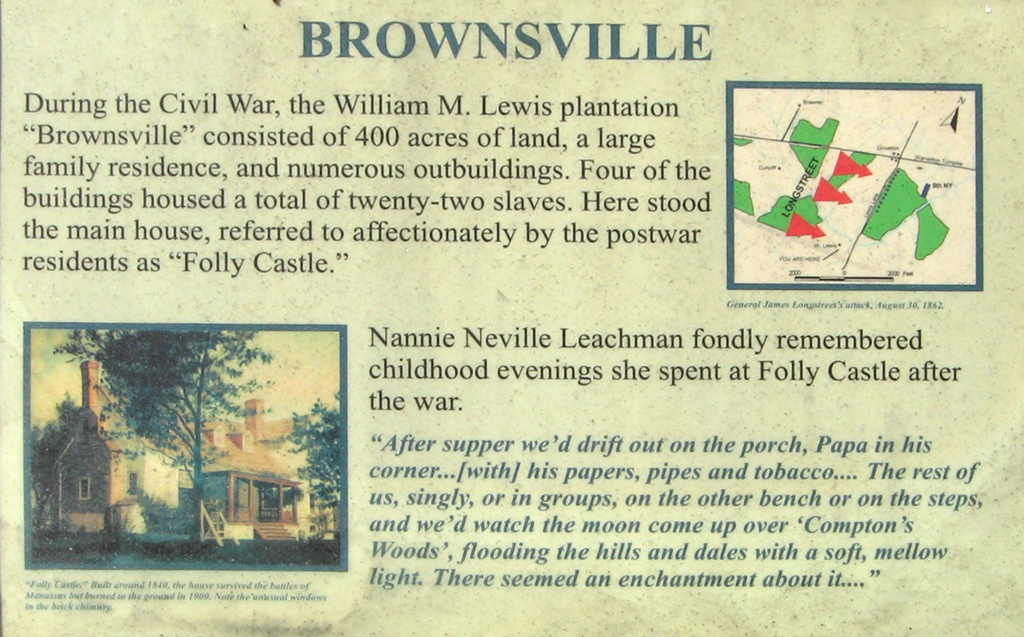
From the wayside marker:
Brownsville
During the Civil War, the William M. Lewis plantation “Brownsville” consisted of 400 acres of land, a large family residence, and numerous outbuildings. Four of the buildings housed a total of twenty-two slaves. Here stood the main house, referred to affectionately by the postwar residents as “Folly Castle.”
Nannie Neville Leachman fondly remembered childhood evenings she spent at Folly Castle after the war.
“After supper we’d drift out on the porch, Papa in his corner…[with] his papers, pipes and tobacco… The rest of us, singly, or in groups, on the other bench or on the steps, and we’d watch the moon come up over ‘Compton’s Woods’, flooding the hills and dales with a soft, mellow light. There seemed an enchantment about it…”
From the caption to the map at upper right:
General James Longstreet’s attack, August 30, 1862.
From the caption to the picture in the lower left:
“Folly Castle.” Built around 1840, the house survived the battles of Manassas but burned to the ground in 1900. Note the unusual windows in the brick chimney.
Location of the Brownsville wayside marker
The marker is on the south end of the Stuart’s Hill Loop Trail, about 300 feet from Pageland Road.