
Battle of Spotsylvania • Tour the Battlefield • Monuments & Markers • The Armies
The Farm to Killing Field wayside marker is on the walking trail to Landram House about 830 yards from the parking area of Stop 3. It is next to the Landrum House wayside marker.
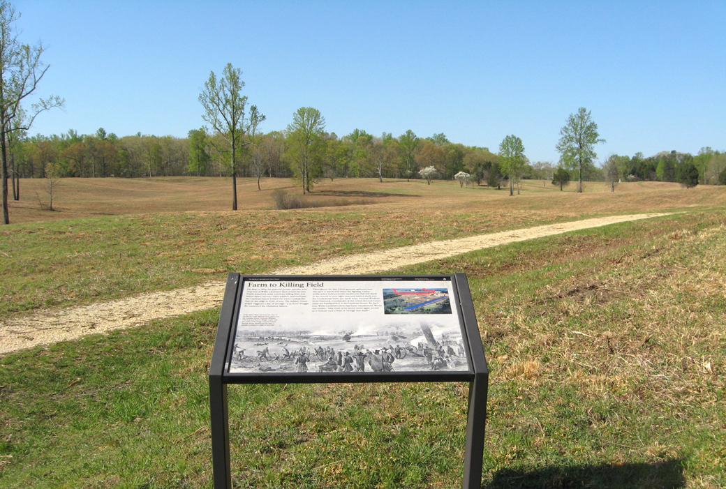
The photo looks south from the Landram House trail toward the Confederate positions of the Muleshoe, which were in front of the treeline in the distance.
From the marker:
Farm to Killing Field
On May 12, 1864, the pastures, potato patches, and crop-lots of Willis Landram’s farm would become North America’s most notorious killing field. Just before dawn, 20,000 Union soldiers swarmed past the Landram house toward the main Confederate line on the ridge in front of you. The sudden Union attack triggered a day of carnage – a 22-hour struggle for control of the Muleshoe Salient.
Throughout the day, Union generals gathered near this spot to watch and direct the fighting. Union artillerymen built powerful earthworks that still stand in the woods to your right-rear and lobbed shells into the Confederate lines, 500 yards away. General Winfield Scot Hancock, commander of the Union Second Corps, made his headquarters in the Landram house. By day’s end, Willis Landram’s farm had been transformed. Wrote one soldier, “May God in his mercy never again permit us to behold such a field of carnage and death.”
From the caption to th drawing:
Artist Alfred Waud sketched this view, used as the background of the marker, of the Bloody Angle fighting from a point near the Landram house. Generals Winfield Hancock and Horatio Wright confer near the center of the image. General Francis Barlow, whose division led the May 12 assault, is seated in a chair to their left.
