
Battle of Spotsylvania • Tour the Battlefield • Monuments & Markers • The Armies
 The Confederate Line wayside marker is on the east side of the East Face of the Salient walking trail. The trail starts at the north side of Gordon Drive at Stop 6 on the Spotsylvania Battlefield Auto Tour.
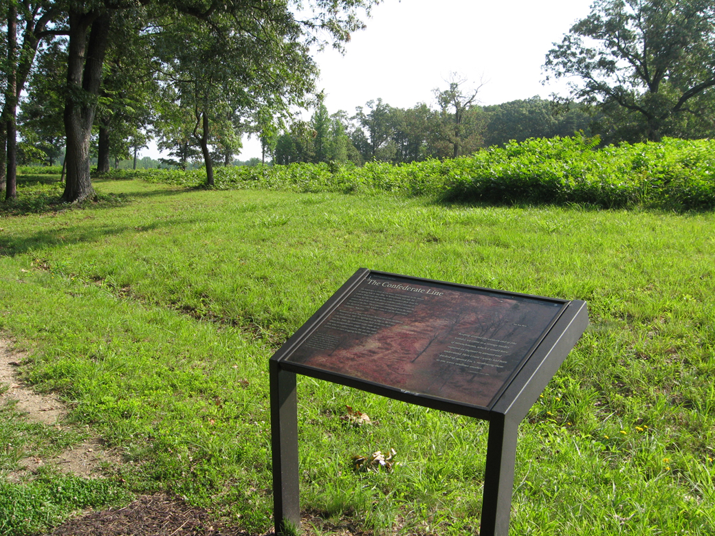
The marker overlooks the remnants of Confederate trenches. The park leaves them unmowed to help preserve them.
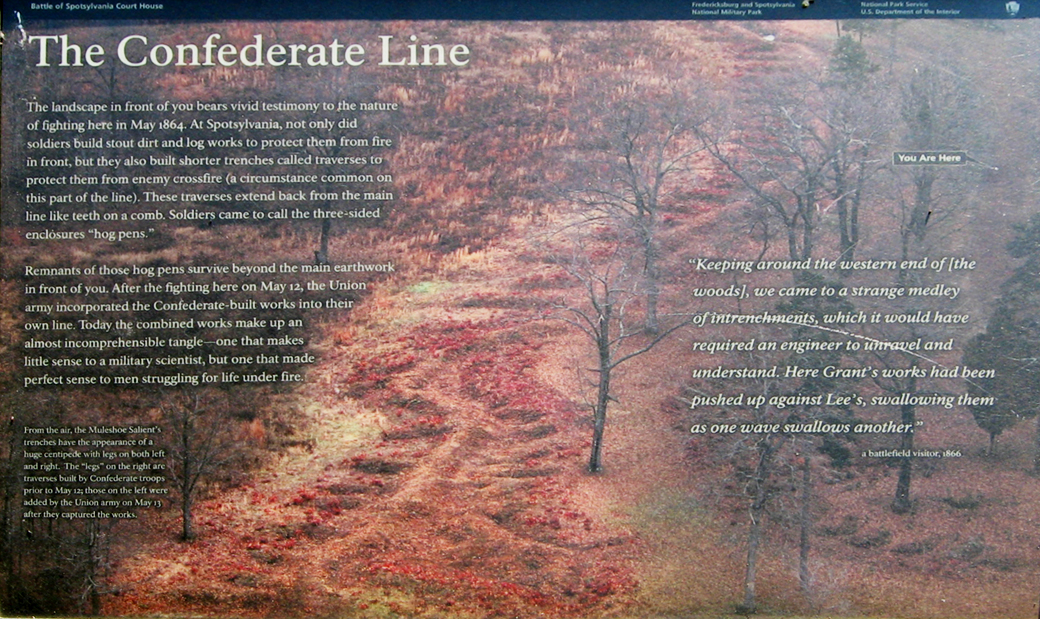
The Confederate Line
The landscape in front of you bears vivid testimony to the nature of fighting here in May 1864. At Spotsylvania, not only did soldiers build stout dirt and log works to protect them from fire in front, but they also built shorter trenches called traverses to protect them from enemy cross fire (a circumstance common on this part of the line). These traverses extend back from the main line like teeth on a comb. Soldiers came to call the three-sided enclosures “hog pens.”
Remains of those hog pens survive beyond the main earthwork in front of you. After the fighting here on May 12, the Union army incorporated the Confederate-built works into their own line. Today the combined works make up an almost incomprehensible tangle – one that makes little sense to a military scientist, but one that made perfect sense to men struggling for life under fire.
“Keeping around the western end of [the woods], we came to a strange medley of intrenchments, which it would have required an engineer to unravel and understand. Here Grant’s works had been pushed up against Lee’s, swallowing them as one wave swallows another.”
a battlefield visitor, 1866
Caption to the background photo:
From the air, the Muleshoe Salient’s trenches have the appearance of a huge centipede with legs on both left and right. The “legs” on the right are traverses built by Confederate troops prior to May 12, those on the left were added by the Union army on May 13 after they captured the works.
Map and directions to the marker
The marker is on the east side of the East Face of the Salient Walking Trail about 350 yards north of the head of the trail, which starts on the north side of Gordon Drive at Stop 6 on the Auto Tour. Note that Bloody Angle Drive shown on the map is a foot path closed to vehicles. (38°13’21.7″N 77°35’45.0″W)
(go to the Tour Stop 6 page)
(go to the main Battle of Spotsylvania Auto Tour page)