
Battle of Monocacy • Tour the Battlefield • Monuments & Markers • Armies
The Thomas farm is on the south side of the Monocacy battlefield outside Frederick, Maryland. The Thomas Farm wayside marker was next to the farm driveway off Baker Valley Road (see map below). Two other markers, Federal Retreat and Thick of the Battle, were next to this marker. The Thomas farm is a working farm owned by the National Park Service with some trails and other areas open to the public.
Note: this marker has been removed but is included here for historical information.
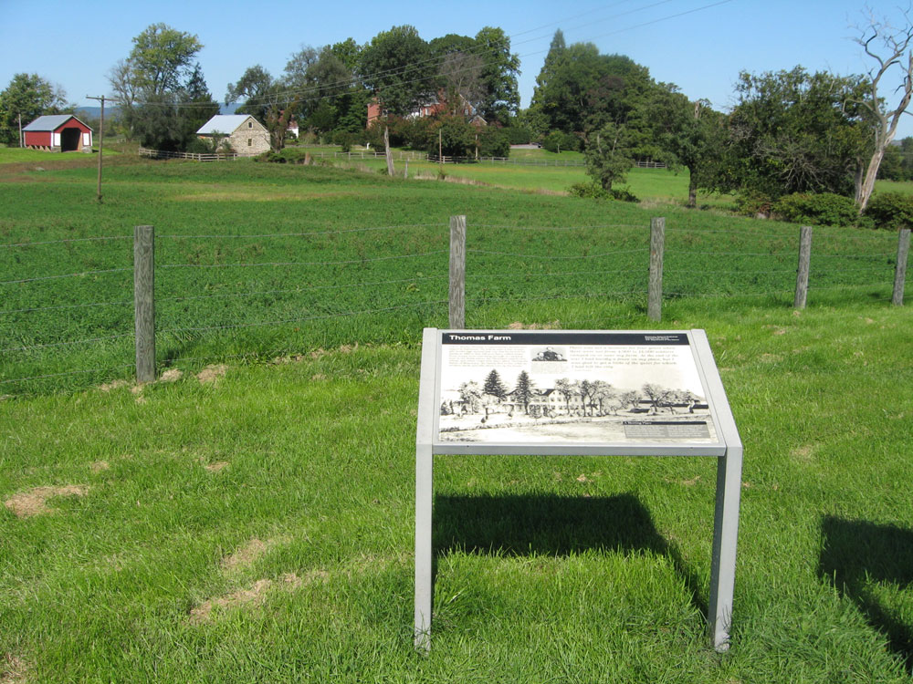
Text from the marker:
Thomas Farm
Col. C. Keefer Thomas, a businessman, should have stayed in Baltimore. He was so sure a war eventually would rage around that city that he moved his family to this 240-acre farm, called Araby. Soon troops were marching through or camping here in the fields where the Thomases raised corn, wheat, and other crops with slave labor. During the Battle of Monocacy, the family fled to the cellar as artillery shells and rifle shots tore up the house.
There was not a moment for four years when there were not from 4,000 to 14,000 soldiers camped on or near my farm. At the end of the war I had hardly a fence on my place, but I was glad to get a little of the quiet for which I had left the city.
C. Keefer Thomas
Text from the sidebar:
A Meeting Place
In June 1863, a year before the battle, Union Maj. Gen. Winfield S. Hancock established his headquarters here at the Thomas farm for three days while his troops were heading north to Gettysburg.
In August 1864, a month after the battle, Lt. Gen. Ulysses S. Grant met with Maj. Gen. Philip H. Sheridan and other military leaders at Araby to map plans for the Shenandoah Valley campaign.

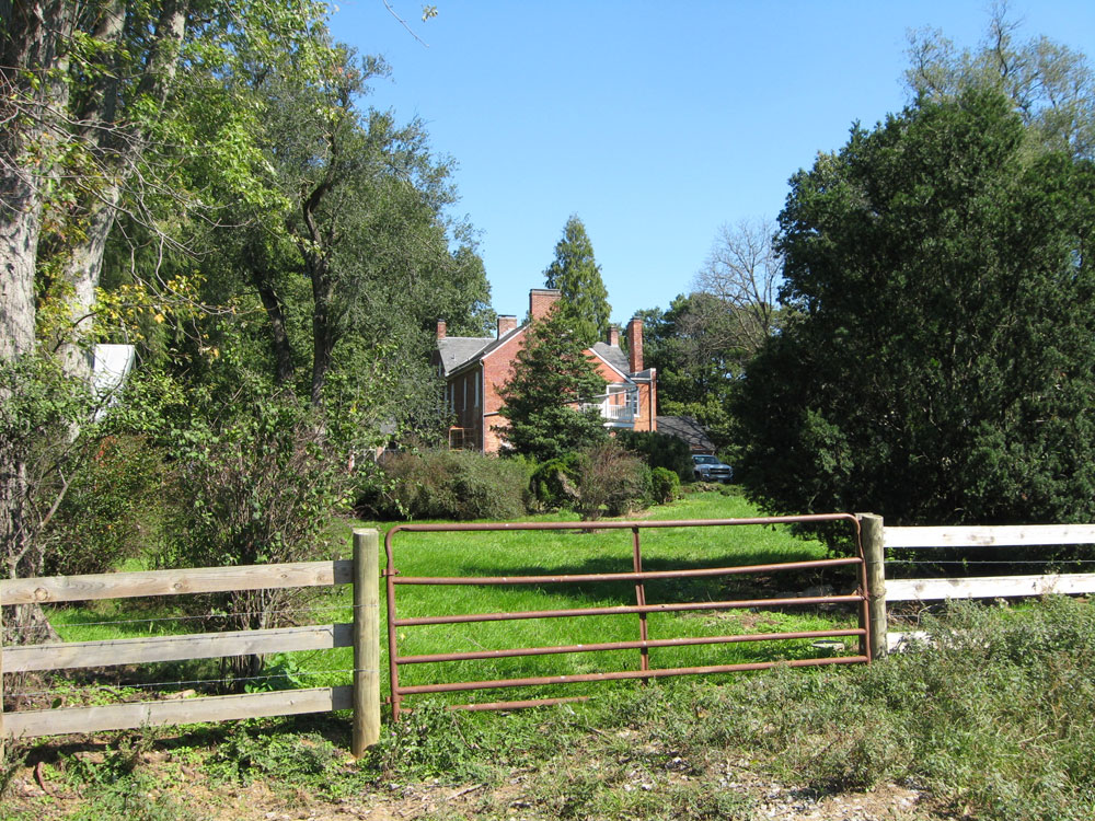
Side view of the Thomas farm
Location of the markers
The markers were on the east side of the driveway to the Thomas farm on the north side of Baker Valley Road about 0.3 mile southwest of Araby Church Road. A small parking area next to the driveway is the trailhead for the Thomas Farm walking tour. (39°21’25.5″N 77°23’26.8″W)