
Cedar Creek • Tour the Battlefield • Battle Maps • The Armies
The Plantation Slavery wayside marker is at Stop Five on the Cedar Creek Battlefield auto tour. (see map below)
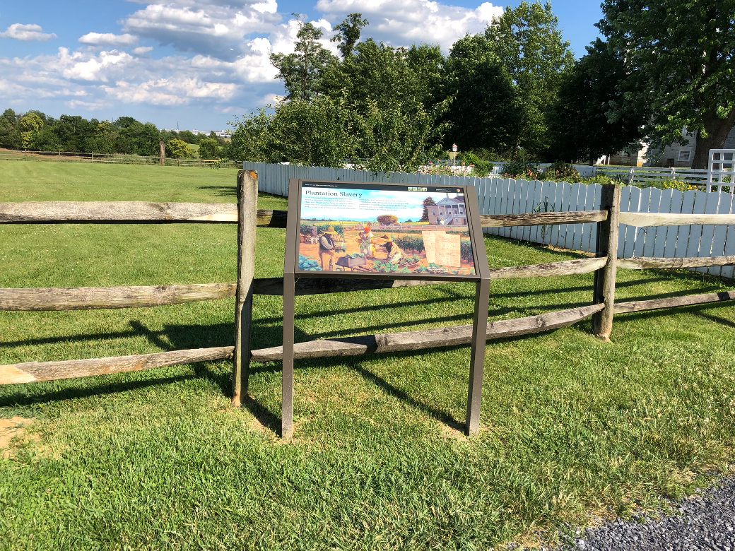
Text from the marker
In the Shenandoah Valley, small family farms were the norm but plantations did exist, including Belle Grove. Major Isaac Hite, Jr. and his family recorded 276 enslaved people that they owned between 1783 and 1851. Some worked raising crops of wheat, corn, flax, and other grains or tended livestock. Others worked in Hite’s industries, of which there were a blacksmith shop, saw mill, grist mill, and distillery. Enslaved workers were involved in every household task or income-producing venture and their labor was critical to the plantation’s success.
Caption to the photo in the bottom right
Isaac Hite kept detailed records of his enslaved workers. Note the annotations in the far right columns: “runaway,” “sold,” “given to…,” “died.”
Location of the marker
The Plantation Slavery wayside marker is at Stop Five, Belle Grove, at the Cedar Creek Battlefield. From the north side of the parking area follow the drive all the way around the barn. The marker is on the left side of the drive. (39°01’16.9″N 78°18’14.3″W)