
Pamplin Park • Breakthrough Trail • Tudor Hall • Fortifications • Markers • Timeline
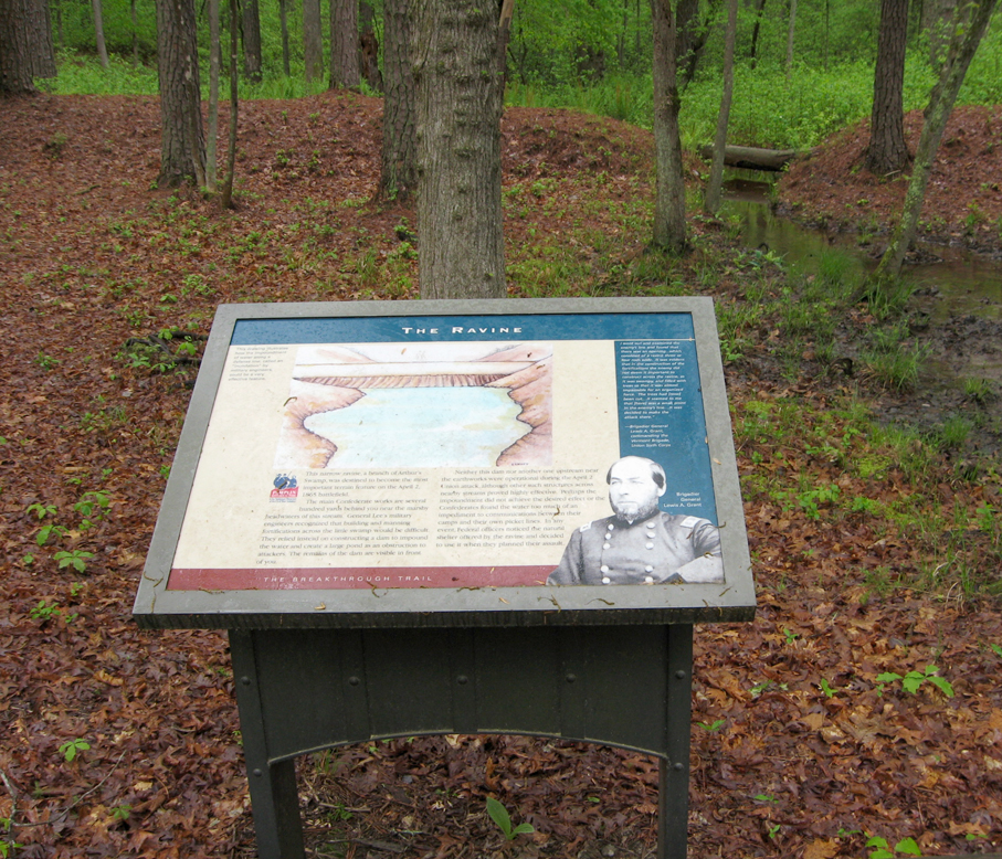
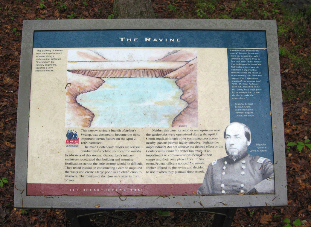
Text from the marker
The Ravine
This narrow ravine, a branch of Arthur’s Swamp, was destined to become the most important terrain feature on the April 2, 1865 battlefield.
The main Confederate works are several hundred yards behind you near the marshy headwaters of this stream. General Lee’s military engineers recognized that building and manning fortifications across the little swamp would be difficult. They relied instead on constructing a dam to impound the water and create a large pond as an obstruction to attackers. The remains of the dam are visible in front of you.
Neither this dam nor another one upstream near the earthworks were operational during the April 2 Union attack, although other such structures across nearby streams proved highly effective. Perhaps the impoundment did not achieve the desired effect or the Confederates found the water too much of an impediment to communications between their camps and their own picket lines. In any event, Federal officers noticed the natural shelter offered by the ravine and decided to use it when they planned their assault.
Sidebar on the right
“I went out and examined the enemy’s line and found that there was an opening…. which consisted of a ravine three or four rods wide. It was evident that in the construction of the fortifications the enemy did not deem it important to construct across the ravine, as it was swampy, and filled with trees so that it was almost impassable for an organized force. The trees had [now] been cut…. it seemed to me that [here] was a weak point in the enemy’s line…. It was decided to make the attack there.”
—Brigadier General Lewis A. Grant, commanding the Vermont Brigade, Union Sixth Corps
Location of the marker
The Ravine wayside marker is on the Breakthrough trail at Pamplin Historical Park near Petersburg, Virginia. (37° 10.754′ N, 77° 28.264′ W)