
Pamplin Park • Breakthrough Trail • Tudor Hall • Fortifications • Markers • Timeline
Text from the marker
Battlefield Terrain
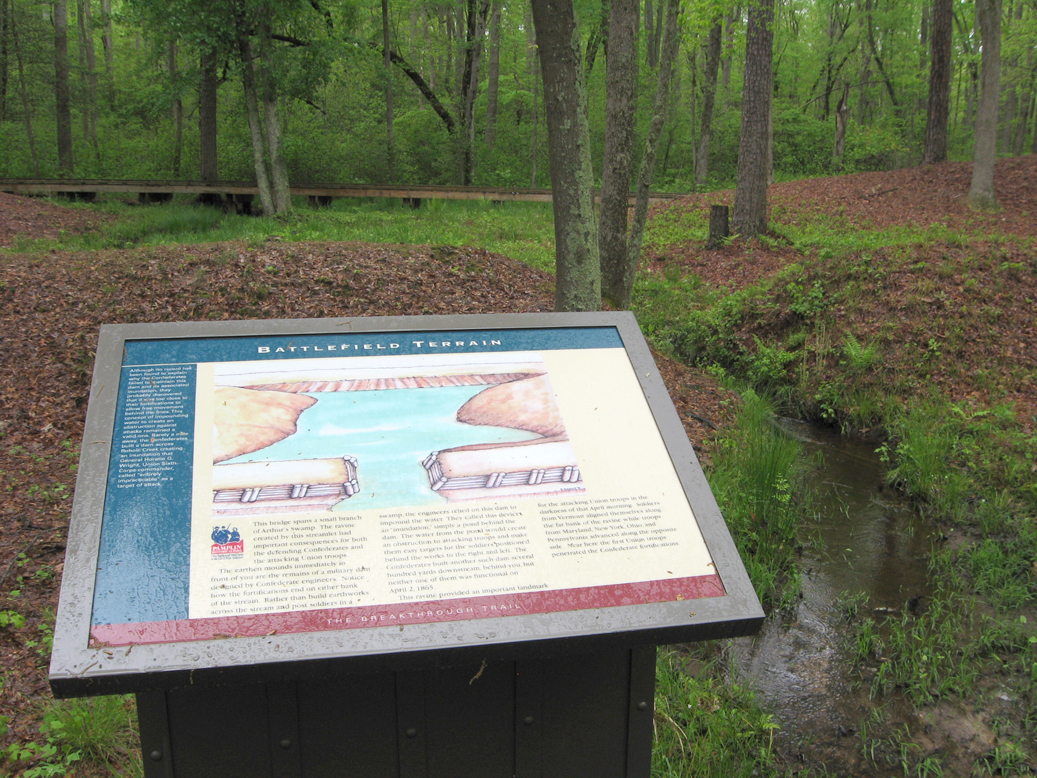
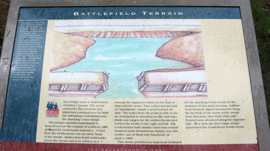
This bridge spans a small branch of Arthur’s Swamp. The ravine created by this streamlet had important consequences for both the defending Confederates and the attacking Union troops.
The earthen mounds immediately in front of you are the remains of a military dam designed by Confederate engineers. Notice how the fortifications end on either bank of the stream. Rather than build earthworks across the stream and post soldiers in a swamp, the engineers relied on this dam to impound the water. They called this device an “inundation,” simply a pond behind the dam. The water from the pond would create an obstruction to attacking troops and make them easy targets for the soldiers positioned behind the works to the right and left. The Confederates built another such dam several hundred yards downstream, behind you, but neither one of them was functional on April 2, 1865.
This ravine provided an important landmark for the attacking Union troops in the darkness of that April morning. Soldiers from Vermont aligned themselves along the far bank of the ravine while troops from Maryland, New York, Ohio and Pennsylvania advanced along the opposite side. Near here the first Union troops penetrated the Confederate fortifications.
Sidebar on the left
Although no record has been found to explain why the Confederates failed to maintain this dam and its associated inundation, they probably discovered that it was too close to their fortifications to allow free movement between the lines. The concept of impounding water to create an obstruction against attacks remained a valid one. Barely a mile away, the Confederates built a dam across Rohoic Creek creating an inundation that General Horatio G. Wright, Union Sixth Corps commander, called ‘entirely impracticable’ as a target of attack.
Location of the marker
The Battlefield Terrain wayside marker is on the Breakthrough trail at Pamplin Historical Park near Petersburg, Virginia. (37° 10.918′ N, 77° 28.412′ W)
<“div”>