
Petersburg • East • Southeast • West • Monuments • Markers • Facts • Timeline
Fort Whitworth was part of a secondary defensive line connecting the main Confederate line with the Appomattox River. The fort was a backup if Union forces ever broke through or outflanked Confederate lines and tried to sweep around into Petersburg.
What happened at Fort Whitworth
On April 2 Unon forces broke through Confederate lines two miles to the south. The only defenses between them and the rear of Lee’s army in the lines to the east was Fort Whitworth and its sister Fort Gregg, 600 yards to the south. Fort Gregg took the the brunt of the Union assault in a bloody two hour fight which ended when the entire Confederate garrison was killed or captured.
Fort Whitworth was garrisoned by men from Brigadier General Nathaniel Harris’s Mississippi Brigade, including parts of the 19th and 48th Mississippi Infantry Regiments and the Washington Artillery. When Fort Gregg was overrun Lee ordered the Fort Whitworth garrison to pull back to Petersburg’s city defenses.
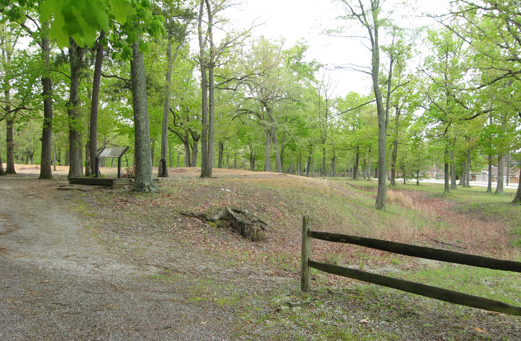
The earthworks of Fort Whitworth, with the Fort Whitworth historical marker among the trees.
Fort Whitworth marker
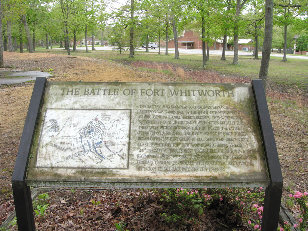
Text from the marker
The Battle of Fort Whitworth
This battery, also known as Fort Baldwin, Alexander or Anderson was garrisoned by the 19th & 48th Mississippi Infantry of Brig. Genl. Nathaniel Harris’s brigade. They were initially supported by guns of Louisiana’s Washington Artillery but these were withdrawn from the fort during the battle. At 1:00 PM on April 2, 1865, the initial assault by Union forces began on nearby Fort Gregg by Maj. Genl. John Gibbon’s XXIV Corps. Eventually Fort Whitworth was attacked by Brig. Genl. Thomas M. Harris’s West Virginia brigade [10th, 11th & 15th Regiments]. With the subsequent capture of Fort Gregg by the Federals, General Lee ordered Whitworth evacuated, forcing his troops to fall back into the city defenses.
Location of Fort Whitworth
Fort Whitworth is at the intersection of 7th Avenue and Accomack Street. It is about 1/3 mile north of Fort Gregg, Stop 4 on the Petersburg Western Front Auto Tour, along 7th Avenue. (37° 12.173′ N, 77° 27.219′ W)
Fort Whitworth Virginia historical Marker
Text from the marker
S82
Confederate Fort Whitworth
Named for the Whitworth family of Mayfield, the
farm on which it was built, this outpost (a quarter-
mile east) and Fort Gregg, 400 yards to the
south, were constructed to protect the western
approaches to Petersburg during the 1864-1865
siege. On 2 April 1865, when Gen. U.S. Grant’s
army attacked the city after turning Gen. R.E. Lee’s
flank at Five Forks the day before, the forts were
the scene of intense fighting. The Union XXIV
Corps captured the two positions, suffering 714
casualties. The Confederates lost about 300 men
in a stubborn defense that delayed the Union
advance for two hours, enabling Lee to withdraw
his army safely that night and begin the westward
march that ended a week later at Appomattox
Court House.
Location of the marker
The marker is on the northeast corner of the intersection of Boydton Plank Road (US 1) and Albemarle Street. Fort Whitworth is about 0.4 mile east of the marker along Albemarle Street and then briefly south on 7th Avenue. (37° 12.309′ N, 77° 27.596′ W)