
Harpers Ferry Main • Tour the Battlefield > Bolivar Heights • Timeline
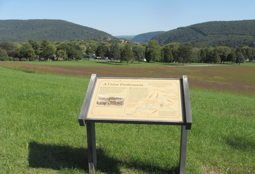
The “A Union Predicament” wayside marker is on the west side of the Union Battle Line Loop about 200 yards south of the trailhead on Bolivar Heights in Harpers Ferry National Historic Park. It is across the trail from the “Confederate Victory” wayside marker. A copy of the marker is also at the Visitor Center.
Looking east from Bolivar Heights toward the gap in the mountains carved by the Potomac River. Harpers Ferry is in the center of the photo. On the left, Maryland Heights was captured by McLaws’ Confederate Division on September 13, cutting the Union line of retreat. The high ridge on the right, Loudoun Heights, had been left undefended and was occupied by Walker’s Confederate Brigade at the same time. Confederate Artillery on these positions as well as south and west of town made the Union position impossible to hold.
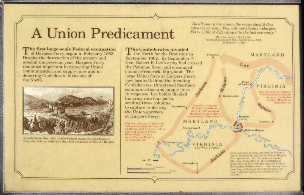
Text from the marker:
A Union Predicament
“Do all you can to annoy the rebels should they advance on you…You will not abandon Harpers Ferry without defending it to the last extremity.”
Maj. Gen. John G. Wool, USA
Telegraph message to Col. Dixon S. Miles, USA
September 7, 1862
The first large-scale Federal occupation of Harpers Ferry began in February 1862. Despite the destruction of the armory and arsenal the previous year, Harpers Ferry remained important in protecting Union communication and supply lines and in deterring Confederate invasions of the North.
The Confederates invaded the North for the first time in September 1862. By September 7, Gen. Robert E. Lee’s army had crossed the Potomac River and encamped outside Frederick, Maryland. The large Union force at Harpers Ferry, now located behind the invading Confederates, threatened Southern communication and supply lines. In response, Lee boldly divided his army into four parts, sending three columns to capture or destroy the Union garrison at Harpers Ferry.
Captions to the map on the marker:
Maj. Gen. Thomas J. ‘Stonewall’ Jackson’s Confederate force of 14,000 traveled 51 miles in three days and occupied School House Ridge, 1/2-mile west of Bolivar Heights, on September 13.
Maj. Gen. Lafayette McLaws’ Confederate force of 8,000 captured Maryland Heights after a battle there on September 13.
Brig. Gen. John G. Walker’s Confederate force of 2,000 occupied undefended Loudoun Heights on September 13.
After Jackson’s column cornered the Federals into an inescapable position on Bolivar Heights, the trap was set. For five hours on Sunday afternoon, September 14, the Confederates fired their artillery from the captured heights. One hapless Federal wrote, “..the hissing and screeching of shot and shell discharged at us was a strange medley for a Sabbath day’s worship.”
 Location of the “A Union Predicament” wayside marker
The marker is on the west side of the Union Battle Line Loop about 200 yards south of the trailhead on Bolivar Heights in Harpers Ferry National Historic Park. (39°19’20.8″N 77°45’41.5″W) The trailhead is west of Harpers Ferry at the intersection of Whitman Avenue and Prospect Avenue.