
Petersburg • East • Southeast • West • Monuments • Markers • Facts • Timeline
 Harrison Creek is Stop 4 on the Petersburg Eastern Front Auto Tour. It is about 1.4 miles from the Visitor Center.
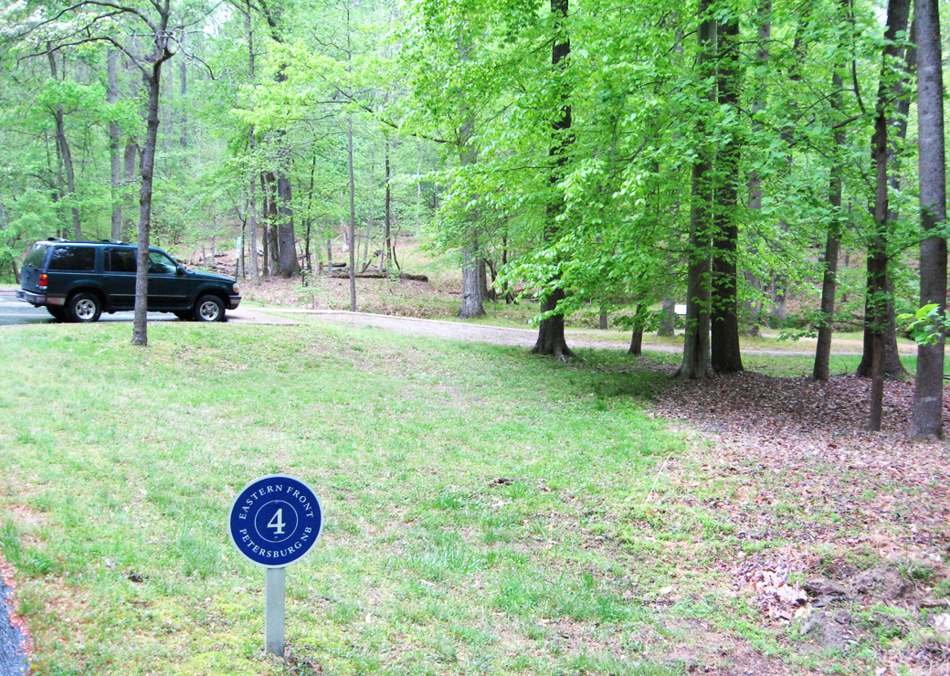
Harrison Creek and the low bluffs on both sides slowed the Federal attack and sheltered the Confederate defenders on two occasions during the fighting around Petersburg. The Union attack on June 15, 1864 and the Confederate attack on Fort Stedman on March 15, 1865 were both slowed and ultimately contained by this small terrain feature. The “Dividing Point” wayside marker along the creek (see below) gives more informtation.
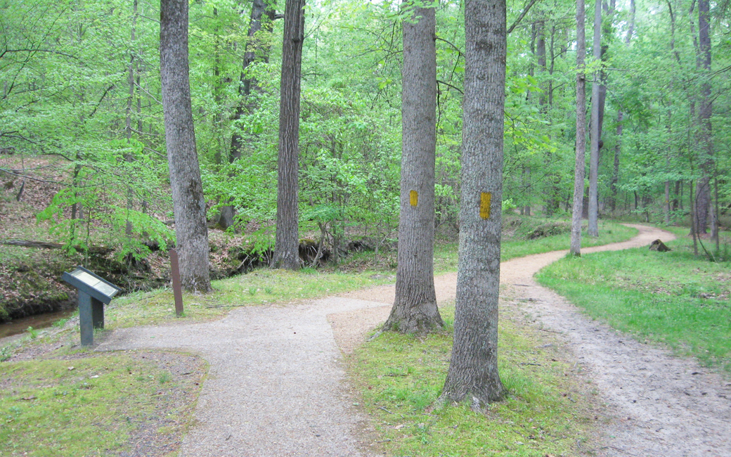
A trail leads from the parking area here along the creek to join with the Friend Trail a short distance to the north.
Stop 4, with the wayside marker and walking trail alongside Harrison Creek.
Dividing Point wayside marker
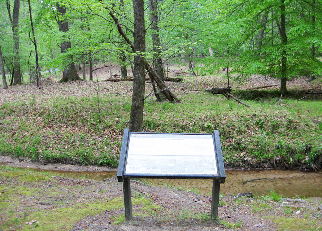
The “Dividing Point” wayside marker along Harrison’s Creek
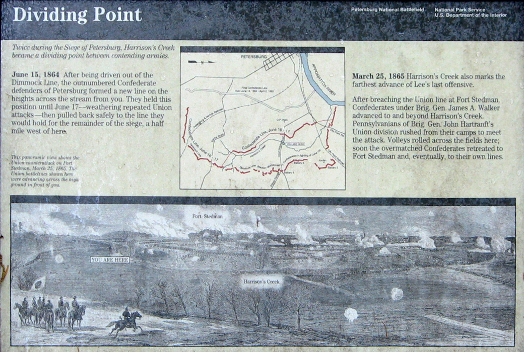
Text from the wayside marker:
Dividing Point
Twice during the Siege of Petersburg, Harrison’s Creek became a dividing point between contending armies.
June 15, 1864 After being driven out of the Dimmock Line, the outnumbered Confederate defenders of Petersburg formed a new line on the heights across the stream from you. They held this position until June 17 – weathering repeated Union attacks – then pulled back safely to the line they would hold for the remainder of the siege, a half mile west of here.
March 25, 1865 Harrison’s Creek also marks the farthest advance of Lee’s last offensive.
After breaching the Union lines at Fort Stedman, Confederates under Brig. Gen. James A. Walker advanced to and beyond Harrison’s Creek. Pennsylvanians of Brig. Gen. John Hartranft’s Union division rushed from their camps to meet the attack. Volleys rolled across the fields here; soon the overmatched Confederates retreated to Fort Stedman and, eventually, to their own lines.
Caption to the drawing:
This panoramic view shows the Union counterattack on Fort Stedman, March 25, 1865. The Union battlelines shown here were advancing across the high ground in front of you.
Map to the Location of Stop Four
Stop Four and the Dividing Point wayside marker are at Harrison Creek. It is on the right side of Siege Road about 1.4 miles from the Visitor Center. (37°13’56.7″N 77°21’46.2″W)
Directions to the next stop on the Petersburg Eastern Front Auto Tour:
|
