
Petersburg • East • Southeast • West • Monuments • Markers • Facts • Timeline
The Fort Hays wayside marker is south of Petersburg, Virginia on the north side of Flank Drive. It is about 1 mile southwest of S. Crater Drive.
The marker is on the site of Fort Alexander Hays, part of the Federal defensive lines during the Siege of Petersburg. The fort was named after the general who held the line against Pickett’s Charge while commanding the 3rd Division of the 2nd Corps at Gettysburg and who was killed commanding the 2nd Corps, 3rd Division, 2nd Brigade at the Battle of the Wilderness.
There is a Monument to General Hays at Gettysburg, and another Monument to General Hays at the site of his death on the Wilderness Battlefield.
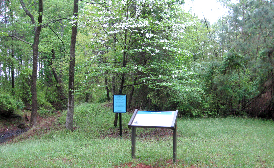
The marker is next to the southwest corner of the fort, which has been cleared of brush. Most of the fort is covered by trees and bushes.
Text from the marker
Fort Hays
A Silent Witness
The land on which Fort Hays is built was fought over on June 22, 1864, when the Union army first attempted to cut one of Lee’s vital rail supply lines, the Petersburg Railroad (usually called the Weldon Railroad) located about three miles west. While the Federals were unsuccessful then in what is known as the Battle of Jerusalem Plank Road, they did gain ground here and began entrenching. Fort Hays was constructed between August 26 and September 7 after Union victories on August 18-21 in the Second Battle of Weldon Railroad (Globe Tavern). The fort, built to handle ten field guns, held four cannons and a 300-man garrison.
Most forts in the Federal siege lines around Petersburg were named for Union officers who either died in nearby fighting or during the preceding campaign. Fort Hays was named for Gen. Alexander Hays, a native of Pennsylvania, who graduated from West Point in the class of 1844. He served in the Mexican War and afterward became a construction engineer. When the Civil War began, he became colonel of the 63rd Pennsylvania Volunteer Infantry. He was promoted to brigadier general of volunteers on September 29, 1862, after suffering a severe wound in the Second Battle of Manassas. Hayes rejoined the army in June 1863 and led a II Corps division at Gettysburg with conspicuous gallantry. He was killed on May 5, 1864, west of Fredericksburg in the Battle of the Wilderness near the intersection of Brock Road and Orange Plank Road. He is buried in Allegheny Cemetery, Pittsburgh.
Caption to the photo
Gen. Alexander Hays
Courtesy Library of Congress
Caption to the diagram
The highlighted area in the lower left corner is the part of the fort that you see cleared in front of you.
Caption to the map
The Battle of Jerusalem Plank Road, fought on June 22, swirled around this site. Although the Confederates successfully defended the area at the time, the Federals soon occupied this ground and constructed Fort Hays.

Location of the monument
The Fort Hays wayside marker is on the north side of Flank Drive at the site of Fort Alexander Hays about 1 mile southwest of South Crater Road and three miles south of the exit from the Eastern Front segment of Petersburg National Battlefield Park. (37°10’52.2″N 77°22’56.0″W)