
Battle of Monocacy • Tour the Battlefield • Monuments & Markers • Armies
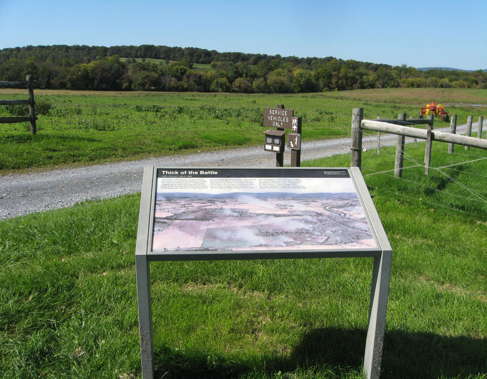
The “Thick of the Battle” wayside marker was beside the driveway to the Thomas Farm on the Monocacy battlefield south of Frederick, Maryland. (see map below) Two other markers, Thomas Farm and Federal Retreat, were next to this marker.
Note: this marker has been removed but is included here for historical information.
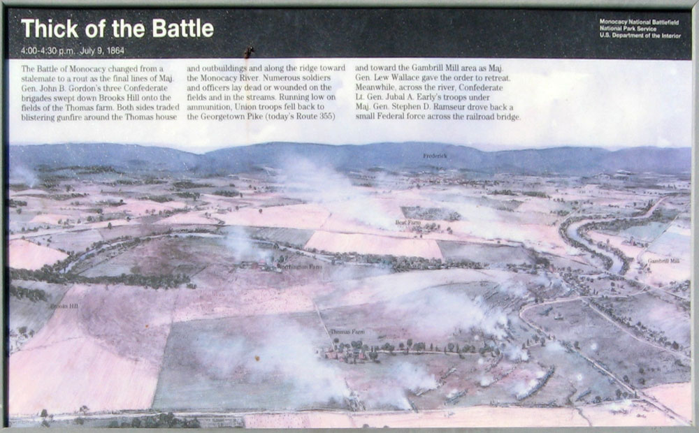
Text from the marker:
Thick of the Battle
4:00 – 4:30 p.m. July 9, 1864
The Battle of Monocacy changed from a stalemate to a rout as the final lines of Maj. Gen. John B. Gordon’s three Confederate brigades swept down Brooks Hill onto the fields of Thomas farm. Both sides traded blistering gunfire around the Thomas house and outbuildings and along the ridge toward the Monocacy River. Numerous soldiers and officers lay dead or wounded on the fields and in the streams. Running low on ammunition, Union troops fell back to the Georgetown Pike (today’s Route 355) and toward the Gambrill Mill area as Maj. Gen. Lew Wallace gave the order to retreat. Meanwhile, across the river, Confederate Lt. Gen. Jubal A. Early’s troops under Maj. Gen. Stephen D. Ramseur drove back a small Federal force across the railroad bridge.
Location
The markers were on the east side of the driveway to the Thomas farm on the north side of Baker Valley Road about 0.3 mile southwest of Araby Church Road. A small parking area next to the driveway is the trailhead for the Thomas Farm walking tour. (39°21’25.5″N 77°23’26.8″W)