
Battle of Monocacy • Tour the Battlefield • Monuments & Markers • Armies
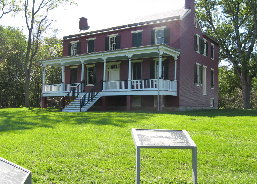
Worthington House is on the southeast side of the Monocacy River on the Monocacy battlefield outside Frederick, Maryland. The Worthington House dates to 1851, and was purchased by John T. Worthington in 1861. John’s son, Glenn, watched the battle through cracks in the boarded up basement windows as Confederate artillery deployed around the house.

The Worthington House wayside maker tells what happened at the John Worthington farm during the Battle of Monocacy. Two other markers are nearby, McCausland’s Attack and Worthington-McKinney Ford.
From the marker:
Worthington House
Fields of wheat and corn surrounded the hilltop farmhouse of John T. Worthington. Few trees obstructed his views of the meandering Monocacy River and Thomas farm to the east. In the two years since buying the 300-acre farm, Worthington had seen Federals and Confederates come and go, but this time both sides were amassing troops. While the family took refuge in the cellar, he had slaves take his horses to Sugarloaf Mountain. At one point, as he greeted Confederate Maj. Gen. John C. Breckinridge in the yard, a Union minie ball knocked the cane out of Worthington’s hand.
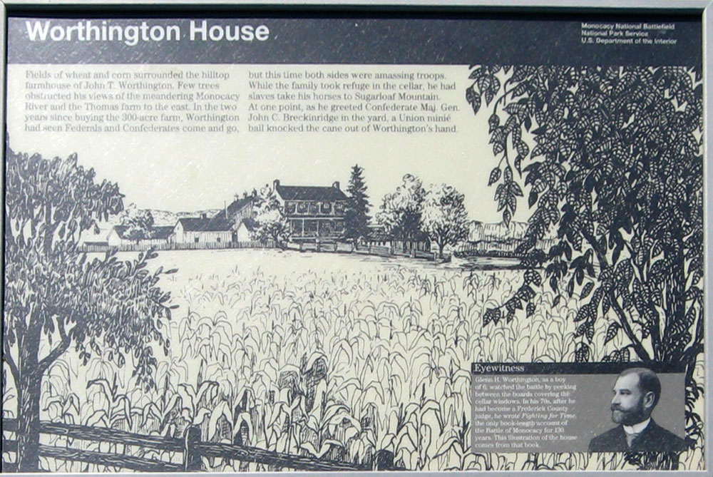
From the sidebar:
Eyewitness Glenn H. Worthington, as a boy of 6, watched the battle by peeking between the boards covering the cellar windows. In his 70s, after he had become a Frederick County judge, he wrote Fighting for Time, the only book-length account of the Battle of Monocacy for 130 years. This illustration of the house comes from that book.
Fighting for Time is still in print and available on Amazon:

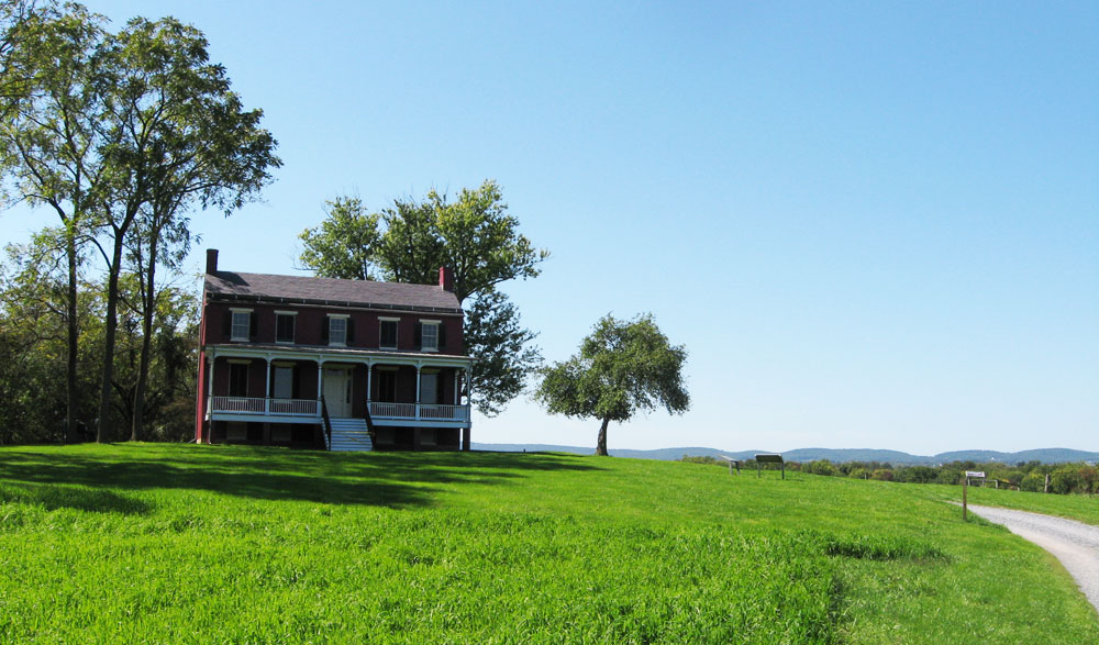
View of Worthington House on its hilltop from the National Park service road
Location
Worthington House is about three miles by road from the Nation Battlefield Park Visitor Center. From the Center take Urbana Road south 0.95 mile. Turn south (right) on Araby Curch Road 0.45 mile. Turn southwest (right) on Baker Valley Road. Proceed 0.65 mile to just pass the freeway underpass, then turn north (right) on the National Park service road. Worthington House, the markers and the trailhead are 0.8 mile down the service road. (39°21’41.9″N 77°24’06.9″W)