
Battle of Brandy Station • Tour the Battlefield • Historical & Wayside Markers • The Armies
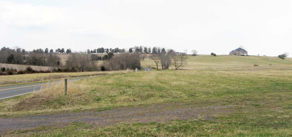
Fleetwood Hill is about a mile northeast of the town of Brandy Station. From the James Madison Highway (U.S. 15 & 29) at Brandy Station take Fleetwood Heights Road east about 0.5 mile from Alanthus Road to the wayside markers. Continue another 0.4 mile to the crest of Fleetwood Hill and the monument. Fleetwood Heights Road contnues east another 0.75 mile to Cobb Legion Road, which connects with Beverly Ford Road, leading to the St. James Church and Buford’s Knoll walkng trails.
Named after Henry Miller’s House, Fleetwood Hill became the center of a series of violent cavalry charges and countercharges during the battle on June 9, 1863. The high ground changed hands several times in the course of the afternoon until finally Union General Alfred Pleasonton pulled his forces back across the Rappahannock River.
Confederates considered the action at Fleetwood Hill to be the centerpoint of the fight, and referred to the battle as the Battle of Fleetwood Hill. When the United Daughters of the Confederacy erected a monument to the battle in 1929 they placed it at the crest of Fleetwood Hill. Much of the land around Fleetwood Hill is still private property today. The hill itself was recently acquired by the Civil War Trust.
Markers and monument at Fleetwood Hill:
Battle of Brandy Station monument
The Race for Fleetwood Hill wayside marker
The Struggle for Fleetwood Hill wayside marker