
Cedar Creek • Tour the Battlefield • Battle Maps • The Armies
The “Signal Knob during the Civil War” wayside marker is at Stop Four on the Cedar Creek Battlefield auto tour.
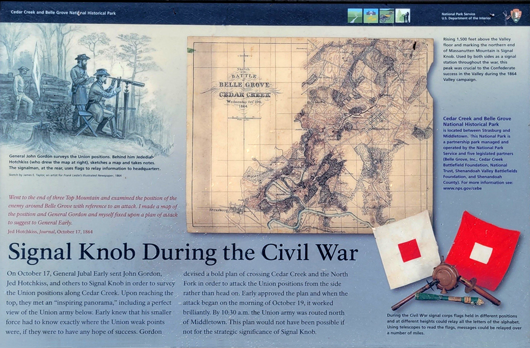
Text from the marker
“Went to the end of three Top Mountain and examined the position of the enemy around Belle Grove with reference to an attack. I made a map of the position and General Gordon and myself fixed upon a plan of attack to suggest to General Early.”
– Jed Hotchkiss, Journal, October 17, 1864
On October 17, General Jubal Early sent John Gordon, Jed Hotchkiss, and others to Signal Knob in order to survey the Union positions along Cedar Creek. Upon reaching the top, they met an “inspiring panorama,” including a perfect view of the Union army below. Early knew that his smaller force had to know exactly where the Union weak points were, if they were to have any hope of success. Gordon devised a bold plan of crossing Cedar Creek and the North Fork in order to attack the Union positions from the side rather than head on. Early approved the plan and when the attack began on the morning of October 19, it worked brilliantly. By 10:30 a.m. the Union army was routed north of Middletown. This plan would not have been possible if not for the strategic significance of Signal Knob.
Caption to the illustration in the upper left
General John Gordon surveys the Union positions. Behind him Jedediah Hotchkiss (who drew the map at right), sketches a map and takes notes. The signalman, at the rear, uses flags to relay information to headquarters.
– Sketch by James E. Taylor, an artist for Frank Leslie’s Illustrated Newspaper, 1864
Caption to the map
Rising 1,500 feet above the Valley floor and marking the northern end of Massanutten Mountain is Signal Knob. Used by both sides as a signal station throughout the war, this peak was crucial to the Confederate success in the Valley during the 1864 Valley campaign.
Sidebar on the right
Cedar Creek and Belle Grove National Historical Park is located between Strasburg and Middletown. This National Park is a partnership park managed and operated by the National Park Service and five legislated partners (Belle Grove, Inc., Cedar Creek Battlefield Foundation, National Trust, Shenandoah Valley Battlefields Foundation, and Shenandoah County). For more information see: www.nps.gov/cebe
Caption on the lower right
During the Civil War signal corps flags held in different positions and at different heights could relay all the letters of the alphabet. Using telescopes to read the flags, messages could be relayed over a number of miles.
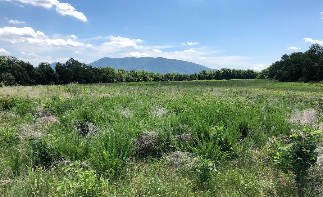
Signal Knob from the Morning Attack Trails
Location of the marker
The “Signal Knob during the Civil War” wayside marker is at Stop Four on the Cedar Creek Battlefield auto tour. It is along the 0.7 mile long Thomas Brigade loop trail. (39° 0.594′ N, 78° 18.206′ W)