Chantilly Main Page * Battle of Chantilly * Ox Hill Battlefield Park * The Armies
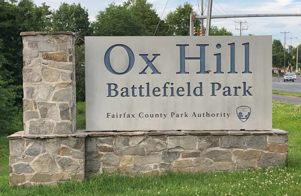
Ox Hill Battlefield Park was created in 2008 by the Fairfax County Park Authority.
Information Kiosks
Three octagonal kiosks next to the small parking area hold six information displays about the park and its history. This is a great starting point to a tour of the park.
Interpretive Trail
The Ox Hill Battlefield Park Interpretive Trail makes a complete circle around the park, passing by two monuments and nine wayside markers. Begin at the parking lot and information kiosks and go clockwise around the trail.
Wayside markers 1-4
- The Attack and Death of General Stevens wayside marker
- The Battle of “Chantilly” (Ox Hill) — Then & Now
- Attack of General Birney’s Brigade wayside marker
- The Death of General Kearney wayside marker
Virginia Historical Markers
Another wayside marker and two Virginia Historical Markers stand just 60 feet down a branch from the interpretive Trail next to the pull off along Monument Drive.
- B29 Maryland (Antietm/Sharpsburg) Campaign Virginia Historical Marker
- B13 Battle of Ox Hill (Chantilly) Virginia Historical Marker
- Death of Generals Stephens and Kearney wayside marker
Stevens & Kearney monuments
- Monument to Major General Isaac Ingalls Stevens
- Monument to Major General Philip Kearney
Wayside Markers 5-7
- Boulders and Quartz Stone wayside marker
- Kearney and Stevens monument wayside marker
- Kearney’s Stump and the Monument Lot wayside marker
Wayside Markers 8 & 9
- General Reno’s Probe East of Ox Road wayside marker
- Aftermath: the Invasion of Maryland wayside marker
Directions to the Ox Hill Battlefield Park
Ox Hill Battlefield Park is in Fairfax, Virginia. The tiny portion of the battlefield that has been preserved from development is just west of the interchange of Interstate 66 and US Highway 50. Exit Interstate 66 on West Ox Road and head south less than half a mile. The park is on the right just past the intersection with Monument Drive.

