
Pamplin Park • Breakthrough Trail • Tudor Hall • Fortifications • Markers • Timeline
Text from the marker
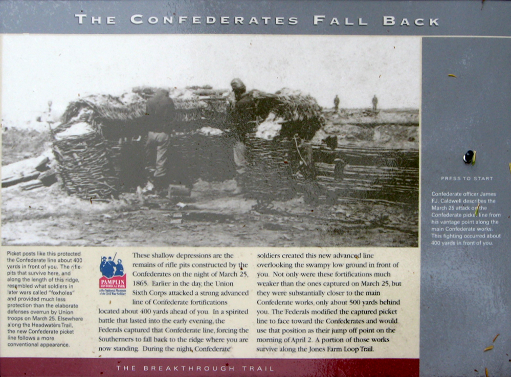
The Confederates Fall Back
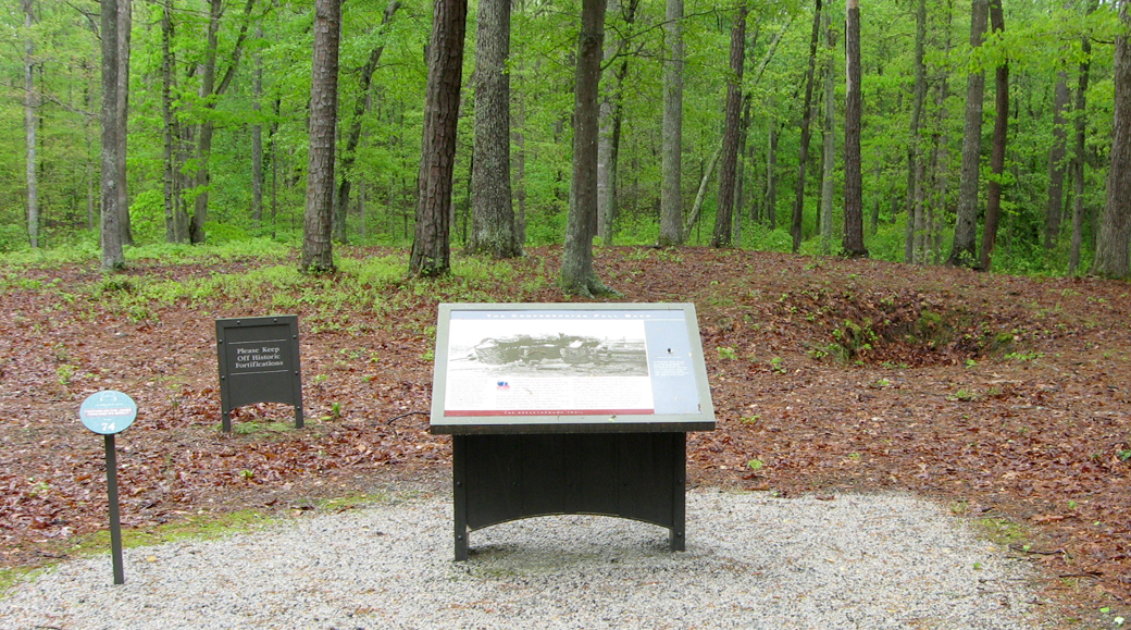
These shallow depressions are the remains of rifle pits constructed by the Confederates on the night of March 25, 1865. Earlier in the day, the Union Sixth Corps attacked a strong advanced line of Confederate fortifications about 400 yards ahead of you. In a spirited battle that lasted into the early evening, the Federals captured that Confederate line, forcing the Southerners to fall back to the ridge where you are now standing. During the night, Confederate soldiers created this new advanced line overlooking the swampy low ground in front of you. Not only were these fortifications much weaker than the ones captured on March 25, but they were substantially closer to the main Confederate works, only about 500 yards behind you. The Federals modified the captured picket line to face toward the Confederates and would use that position as their jump off point on the morning of April 2. A portion of those lines survive along the Petersburg Battlefield Trail.
Caption on the bottom left
Picket posts like this protected the Confederate line about 400 yards in front of you. The rifle pits that survive here, and along the length of this ridge, resembled what soldiers in later wars called “foxholes” and provided much less protection than the elaborate defenses overrun by Union troops on March 25. Elsewhere along the Headwaters Trail, the new Confederate picket line follows a more conventional appearance.
Caption for the audio (under the start button)
Confederate officer James F.J. Caldwell describes the March 25 attack on the Confederate picket line from his vantage point along the main Confederate works. This fighting occurred about 400 yards in front of you.
Location of the marker
The Confederates Fall Back wayside marker is on the Breakthrough trail at Pamplin Historical Park near Petersburg, Virginia. (37° 10.684′ N, 77° 28.25′ W)